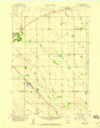
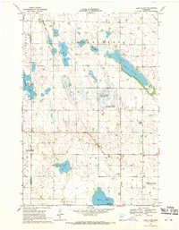
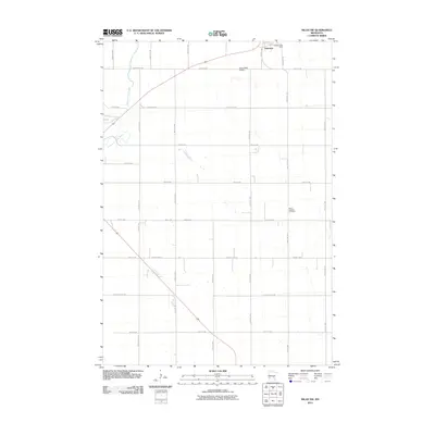
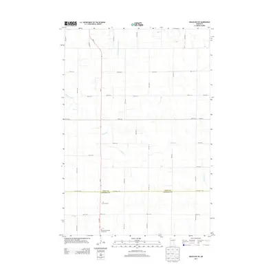
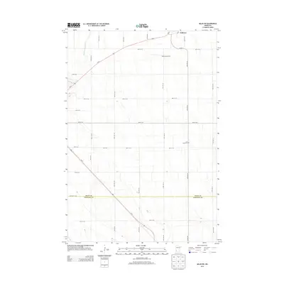
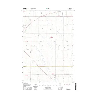
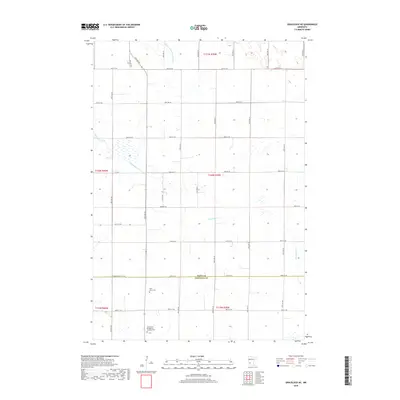
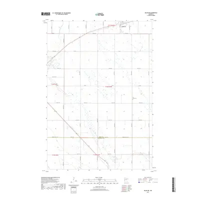
1958 Map of Big Bend City
USGS Topo · Published 1959About this map
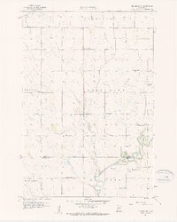
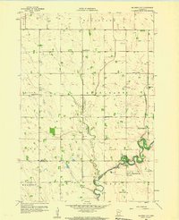
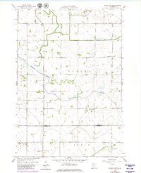
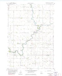
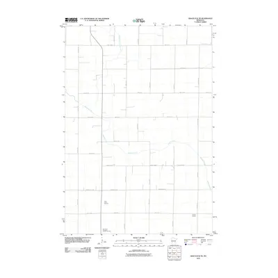
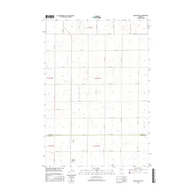
The winding Chippewa River serves as the focal point for this 1950s survey of the border between Swift and Chippewa Counties. This agricultural landscape is defined by its rural infrastructure, featuring a dense network of numbered schoolhouses such as School No 2237, School No 2234, and School No 297 distributed across the prairie townships of West Bank and Edison. The settlement of Big Bend City anchors the southeast, positioned near the river's deep oxbows and the smaller community of Hagan.
Find a feature on this map
21 named features on this map. Tap any name to fly to it.
Don’t see what you’re looking for? This feature index may not catch every label — zoom into the map to look around manually.
Map Details
Editions of this 1958 Big Bend City Map
2 editions found
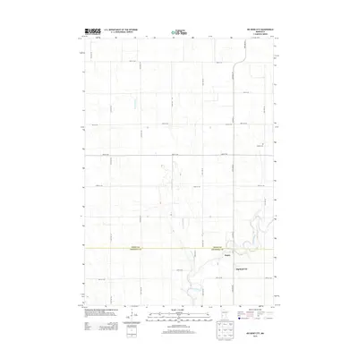
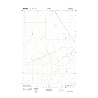
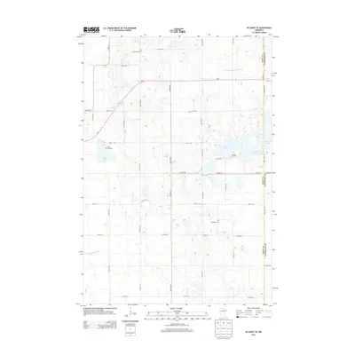
Historical Maps of Hagan Through Time
48 maps found
1958 Big Bend City
Swift County, MN
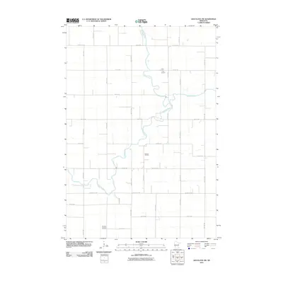
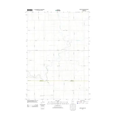
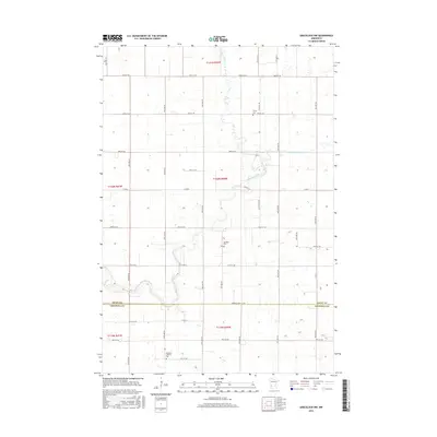
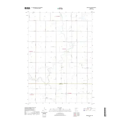
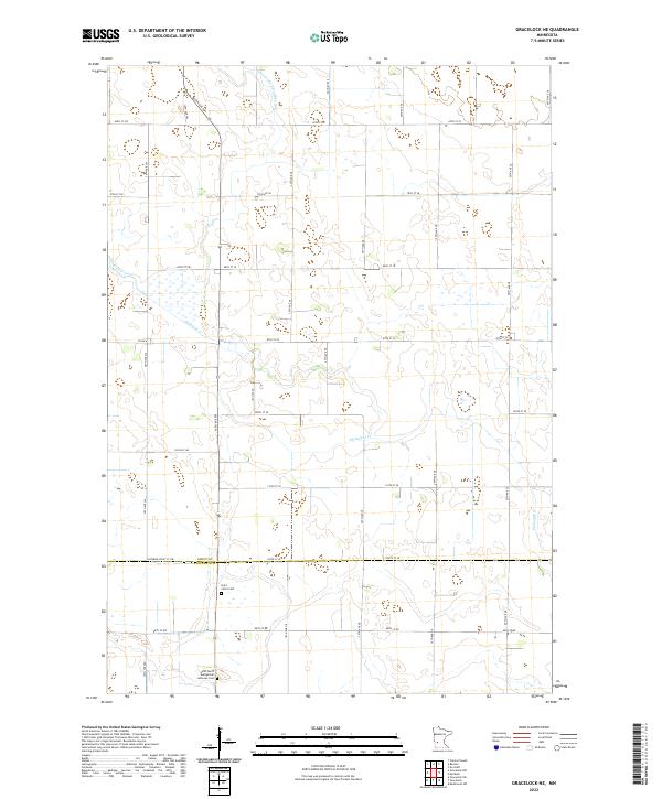
1958 Gracelock NE
Swift County, MN
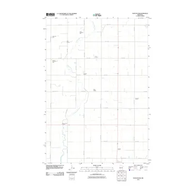
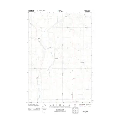
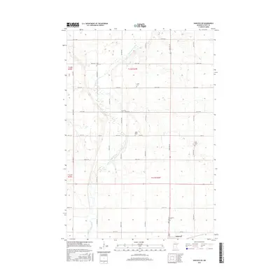
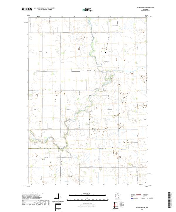
1958 Gracelock NW
Swift County, MN
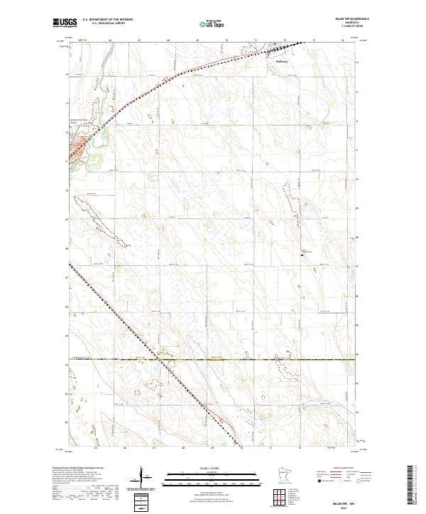
1958 Milan NW
Swift County, MN
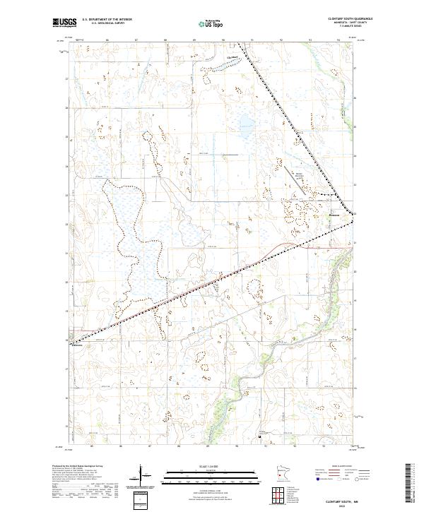
1968 Clontarf South
Swift County, MN
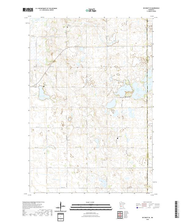
1968 De Graff SE
Swift County, MN
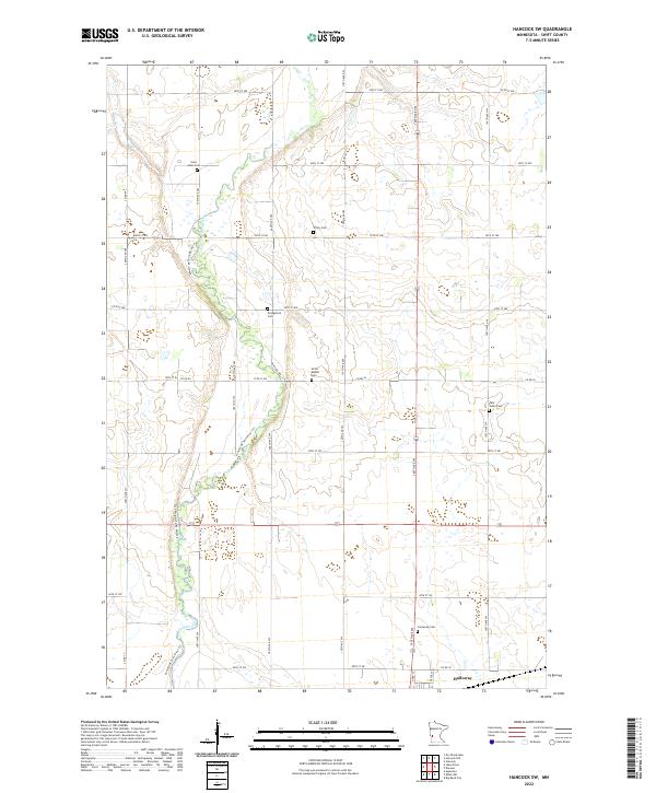
1968 Hancock SW
Swift County, MN
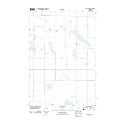
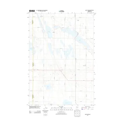
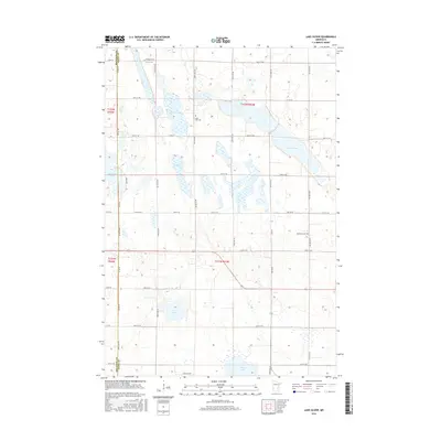
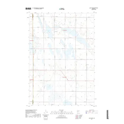
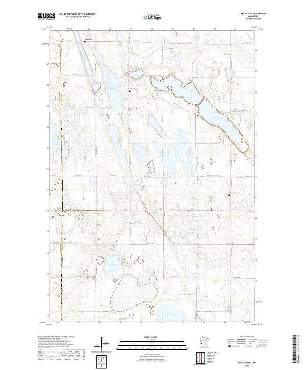
1968 Lake Oliver
Swift County, MN
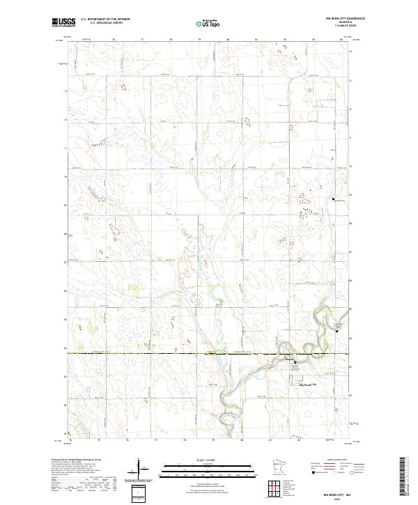
2010 Big Bend City
Swift County, MN
2010 Clontarf South
Swift County, MN
2010 De Graff SE
Swift County, MN
2010 Gracelock NE
Swift County, MN
2010 Gracelock NW
Swift County, MN
2010 Hancock SW
Swift County, MN
2010 Lake Oliver
Swift County, MN
2010 Milan NW
Swift County, MN
2013 Big Bend City
Swift County, MN
2013 Clontarf South
Swift County, MN
2013 De Graff SE
Swift County, MN
2013 Gracelock NE
Swift County, MN
2013 Gracelock NW
Swift County, MN
2013 Hancock SW
Swift County, MN
2013 Lake Oliver
Swift County, MN
2013 Milan NW
Swift County, MN
2016 Big Bend City
Swift County, MN
2016 Clontarf South
Swift County, MN
2016 De Graff SE
Swift County, MN
2016 Gracelock NE
Swift County, MN
2016 Gracelock NW
Swift County, MN
2016 Hancock SW
Swift County, MN
2016 Lake Oliver
Swift County, MN
2016 Milan NW
Swift County, MN
2019 Big Bend City
Swift County, MN
2019 Clontarf South
Swift County, MN
2019 De Graff SE
Swift County, MN
2019 Gracelock NE
Swift County, MN
2019 Gracelock NW
Swift County, MN
2019 Hancock SW
Swift County, MN
2019 Lake Oliver
Swift County, MN
2019 Milan NW
Swift County, MN
2022 Big Bend City
Swift County, MN
2022 Clontarf South
Swift County, MN
2022 De Graff SE
Swift County, MN
2022 Gracelock NE
Swift County, MN
2022 Gracelock NW
Swift County, MN
2022 Hancock SW
Swift County, MN
2022 Lake Oliver
Swift County, MN
2022 Milan NW
Swift County, MN