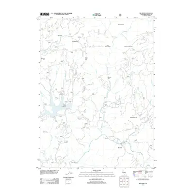
2012 Map of Big Bend
USGS Topo · Published 2012About this map
The Pit River carves a deep path through the Shasta County landscape, defining the character of the Big Bend area. This 2012 survey illustrates a region where geothermal activity and rugged terrain meet, highlighted by the presence of Big Bend Hot Springs and Hunt Hot Spring along the river banks. The geography is marked by a series of flats and peaks, including Arvison Flat, Grasshopper Flat, and the prominent Dutchman Peak to the west.
Find a feature on this map
86 named features on this map. Tap any name to fly to it.
Don’t see what you’re looking for? This feature index may not catch every label — zoom into the map to look around manually.
Map Details
Editions of this 2012 Big Bend Map
This is the sole edition of this map. No revisions or reprints were ever made.
Other maps of this area

1886 · Lassen Peak
USGS Topo · 1:250,000

1886 · Modoc Lava Bed
USGS Topo · 1:250,000

1886 · Shasta
USGS Topo · 1:250,000

1890 · Red Bluff
USGS Topo · 1:250,000

1892 · Modoc Lava-Bed
USGS Topo · 1:250,000

1892 · Lassen Peak
USGS Topo · 1:250,000

1894 · Lassen Peak
USGS Topo · 1:250,000

1894 · Red Bluff
USGS Topo · 1:250,000

1894 · Shasta
USGS Topo · 1:250,000

1901 · Redding
USGS Topo · 1:125,000