
1959 Map of Big Bow SW
USGS Topo · Published 1960About this map
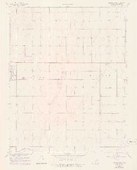
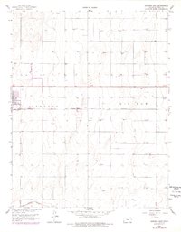
Sandy Arroyo Creek winds through the southwestern corner of this Stanton County landscape, cutting a natural path through the high plains of western Kansas. The local economy and infrastructure of the late 1950s are defined by the extensive network of Gas Wells that dot the terrain, indicating the significance of the Hugoton Gas Area to this region. Transportation and transit follow a precise grid, anchored by the Atchison Topeka and Santa Fe railroad line that bisects the central portion of the quadrangle from east to west. While the area is primarily rural and industrial, the presence of a Sewage Disposal site near the western boundary suggests the proximity of municipal infrastructure just beyond the map's edge. The topographic detail illustrates a transition between open upland and the drainage basins that feed into the local creek system.
Find a feature on this map
8 named features on this map. Tap any name to fly to it.
Don’t see what you’re looking for? This feature index may not catch every label — zoom into the map to look around manually.
Map Details
Editions of this 1959 Big Bow SW Map
3 editions found
Other maps of this area

1900 · Syracuse
USGS Topo · 1:125,000

1920 · Syracuse
USGS Topo · 1:125,000

1955 · Dodge City
USGS Topo · 1:250,000

1958 · Dodge City
USGS Topo · 1:250,000

1959 · Dodge City
USGS Topo · 1:250,000

1959 · Big Bow NE
USGS Topo · 1:24,000

1959 · Big Bow NW
USGS Topo · 1:24,000
1959 · Big Bow
USGS Topo · 1:24,000

1973 · Shore Airport
USGS Topo · 1:24,000

1973 · Richfield NE
USGS Topo · 1:24,000