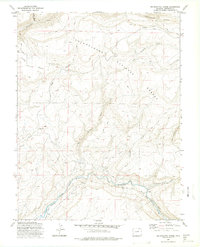
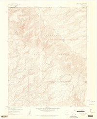
1973 Map of Big Bucktail Creek
USGS Topo · Published 1975About this map
The San Miguel River carves a deep path through Montrose County, as seen in this 1970s topographic study. The landscape is defined by the steep walls of the San Miguel Canyon and the high elevations of Pinto Mesa. Settlement is sparse, with the small community of Piñon and the high-altitude Mountain View serving as primary landmarks. The presence of a Cem near Piñon and a Gravel Pit along the riverbank points to a history of small-scale industry and local residency in this high-desert environment.
Find a feature on this map
25 named features on this map. Tap any name to fly to it.
Don’t see what you’re looking for? This feature index may not catch every label — zoom into the map to look around manually.
Map Details
Editions of this 1973 Big Bucktail Creek Map
2 editions found
Other maps of this area

1916 · Paradox Valley
USGS Topo · 1:125,000

1922 · Paradox Valley
USGS Topo · 1:125,000

1956 · Moab
USGS Topo · 1:250,000

1959 · Moab
USGS Topo · 1:250,000

1960 · Moab
USGS Topo · 1:250,000
1960 · Nucla
USGS Topo · 1:24,000
1960 · Nucla
USGS Topo · 1:62,500
1960 · Windy Point
USGS Topo · 1:24,000

1962 · Moab
USGS Topo · 1:250,000

1964 · Moab
USGS Topo · 1:250,000