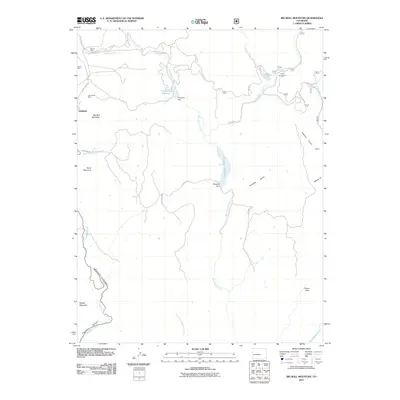
2011 Map of Big Bull Mountain
USGS Topo · Published 2011About this map
Goldfield sits on the western edge of this Colorado high-country landscape, where the legacy of early mining is etched into the terrain through sites like Victor Mine, Homestake Mine, and Brown Mine. The 2011 survey reveals a complex network of mountain roads including Gold Camp Rd and Skagway Rd, which navigate the steep drainage systems of West Beaver Creek and Eightmile Creek. Water management infrastructure is prominent, featuring the Skagway Reservoir and its associated Skagway Dam, alongside Pringtime Reservoir further north. These reservoirs contrast with the narrow, winding descent of Phantom Canyon in the southwest. The presence of Clyde and the Clyde Campground near Bison Creek suggests a transition from the area's industrial mining roots toward a landscape defined by forest recreation and watershed conservation.
Find a feature on this map
36 named features on this map. Tap any name to fly to it.
Don’t see what you’re looking for? This feature index may not catch every label — zoom into the map to look around manually.
Map Details
Editions of this 2011 Big Bull Mountain Map
This is the sole edition of this map. No revisions or reprints were ever made.
Other maps of this area

1893 · Colorado Springs
USGS Topo · 1:125,000

1894 · Pikes Peak
USGS Topo · 1:125,000

1901 · Pikes Peak
USGS Topo · 1:125,000

1901 · Pikes Peak
USGS Topo · 1:62,500

1909 · Colorado Springs
USGS Topo · 1:125,000

1942 · Colorado Springs
USGS Topo · 1:125,000

1948 · Mount Big Chief
USGS Topo · 1:24,000

1948 · Mount Pittsburg
USGS Topo · 1:24,000

1948 · Manitou Springs
USGS Topo · 1:24,000

1948 · Colorado Springs
USGS Topo · 1:62,500