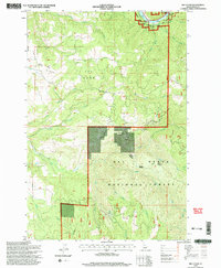
1995 Map of Big Cedar
USGS Topo · Published 1999About this map
Tahoe Ridge and The Horn define the high country of Idaho County in this mid-1990s U.S. Forest Service study, where the landscape transitions from the high timberlands down to the Middle Fork Clearwater River. The map captures the interface between the Clearwater National Forest and Nez Perce National Forest, divided by the East Auxiliary Meridian. Settlement is sparse, centered on the small community of Big Cedar and the nearby Tahoe Cemetery, which serves as a vital marker for local genealogical research. The drainage network is dense, with Big Cedar Creek, Little Cedar Creek, and Clear Creek carving through the terrain. Evidence of local industry and transport appears in the form of a Tramway near the river and a Gravel Pit south of Crane Hill, reflecting the practical land use of this remote forest region.
Find a feature on this map
24 named features on this map. Tap any name to fly to it.
Don’t see what you’re looking for? This feature index may not catch every label — zoom into the map to look around manually.
Map Details
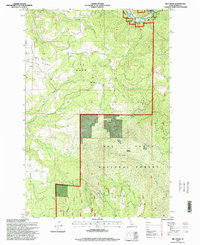
Editions of this 1995 Big Cedar Map
2 editions found
Other maps of this area

1924 · Weippe
USGS Topo · 1:125,000

1931 · Buffalo Hump
USGS Topo · 1:125,000

1934 · Buffalo Hump
USGS Topo · 1:125,000

1956 · Elk City
USGS Topo · 1:250,000

1956 · Hamilton
USGS Topo · 1:250,000

1959 · Hamilton
USGS Topo · 1:250,000

1960 · Elk City
USGS Topo · 1:250,000

1960 · Hamilton
USGS Topo · 1:250,000

1962 · Pilot Knob
USGS Topo · 1:24,000
1963 · Corral Hill
USGS Topo · 1:24,000