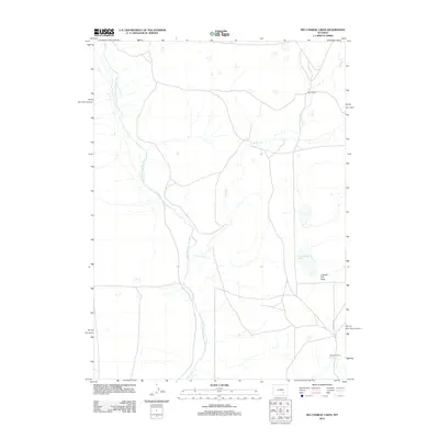
2012 Map of Big Charlie Lakes
USGS Topo · Published 2012About this map
Little Medicine Bow River meanders through this high plains region of Albany County, marking a landscape defined by ranching and natural drainage systems. The survey highlights established agricultural holdings such as Cram Ranch in the northeast and Heward Ranch to the south, connected by the reach of Marshall Rd. This area is characterized by its complex hydrology, where Spring Cr feeds into the namesake Big Charlie Lakes, a distinctive water feature in an otherwise arid expanse. Topographic variations are noted at Johnson Flat Draw, illustrating the subtle yet significant corridors that have influenced local land use and transit in this part of Wyoming for generations.
Find a feature on this map
7 named features on this map. Tap any name to fly to it.
Don’t see what you’re looking for? This feature index may not catch every label — zoom into the map to look around manually.
Map Details
Editions of this 2012 Big Charlie Lakes Map
This is the sole edition of this map. No revisions or reprints were ever made.
Other maps of this area

1954 · Torrington
USGS Topo · 1:250,000

1955 · Casper
USGS Topo · 1:250,000

1958 · Casper
USGS Topo · 1:250,000

1958 · Torrington
USGS Topo · 1:250,000

1959 · Moss Agate Reservoir
USGS Topo · 1:24,000

1959 · Chalk Hills
USGS Topo · 1:24,000
1961 · Walker Draw SE
USGS Topo · 1:24,000

1961 · T B Ranch
USGS Topo · 1:24,000
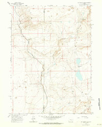
1961 · Big Charlie Lakes
USGS Topo · 1:24,000
1961 · Walker Draw NW
USGS Topo · 1:24,000