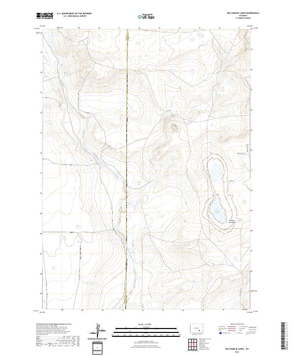
2021 Map of Big Charlie Lakes
USGS Topo · Published 2021About this map
The Little Medicine Bow River meanders across this high-plains landscape, cutting through the boundary between Carbon and Albany counties. This 2021 survey documents a relatively open stretch of Wyoming territory defined by its complex drainage patterns, including the intermittent flow of Spring Cr and the topographical depression of Johnson Flat Draw. At the eastern edge of the quadrangle, the Big Charlie Lakes stand as a primary water feature, surrounded by wetlands that serve as critical markers in an otherwise arid environment. While the area remains largely undeveloped, the emergence of residential markers like Prairie Moon Ct and Prairie Star Dr near the Albany County line suggests modern expansion into these traditional ranching lands.
Find a feature on this map
14 named features on this map. Tap any name to fly to it.
Don’t see what you’re looking for? This feature index may not catch every label — zoom into the map to look around manually.
Map Details
Editions of this 2021 Big Charlie Lakes Map
This is the sole edition of this map. No revisions or reprints were ever made.
Other maps of this area

1954 · Torrington
USGS Topo · 1:250,000

1955 · Casper
USGS Topo · 1:250,000

1958 · Casper
USGS Topo · 1:250,000

1958 · Torrington
USGS Topo · 1:250,000

1959 · Moss Agate Reservoir
USGS Topo · 1:24,000

1959 · Chalk Hills
USGS Topo · 1:24,000
1961 · Walker Draw SE
USGS Topo · 1:24,000

1961 · T B Ranch
USGS Topo · 1:24,000
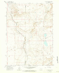
1961 · Big Charlie Lakes
USGS Topo · 1:24,000
1961 · Walker Draw NW
USGS Topo · 1:24,000