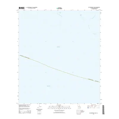
2015 Map of Big Constance Lake
USGS Topo · Published 2015About this map
Gulf of Mexico tides meet the coastal marshes of Cameron Parish in this 2015 survey of the southwestern Louisiana shoreline. The landscape is defined almost entirely by its aquatic features, where Big Constance Lake and its smaller counterpart, Little Constance Lake, serve as focal points for a network of winding waterways. These include Constance Bayou, Little Constance Bayou, and Dyson Bayou, which snake through the low-lying terrain before reaching the open gulf. This map provides a clear record of the coastline's configuration in the early 21st century, illustrating the transition from open water to the interior marsh system. For those interested in the environmental history of the Chenier Plain, this data captures the specific hydrological layout of a region where the boundary between land and water is constantly shifting.
Find a feature on this map
8 named features on this map. Tap any name to fly to it.
Don’t see what you’re looking for? This feature index may not catch every label — zoom into the map to look around manually.
Map Details
Editions of this 2015 Big Constance Lake Map
This is the sole edition of this map. No revisions or reprints were ever made.
Other maps of this area

1932 · Constance Bayou NE
USGS Topo · 1:31,680

1932 · Constance Bayou SW
USGS Topo · 1:31,680

1932 · Constance Bayou SE
USGS Topo · 1:31,680

1932 · Constance Bayou NW
USGS Topo · 1:31,680

1946 · Hog Bayou NE
USGS Topo · 1:31,680

1949 · Hog Bayou NE
USGS Topo · 1:31,680
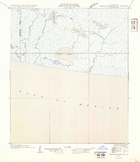
1954 · Constance Bayou SE
USGS Topo · 1:31,680
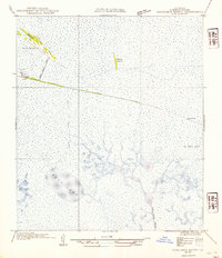
1954 · Constance Bayou NW
USGS Topo · 1:31,680
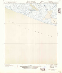
1954 · Constance Bayou SW
USGS Topo · 1:31,680

1954 · Port Arthur
USGS Topo · 1:250,000