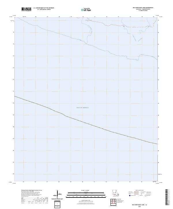
2025 Map of Big Constance Lake
USGS Topo · Published 2025About this map
Little Constance Lake sits at the northern edge of this coastal reach, feeding into a network of tidal waterways within the marshy lowlands of Louisiana. The landscape is defined by the winding paths of Little Constance Bayou and Constance Bayou, which trace a transition from inland waters toward the expansive Gulf of America to the south. This coastal topography highlights the intricate drainage patterns of the region, where Dyson Bayou joins the larger bayou system. The absence of roads or permanent structures reflects the shifting, water-dominated nature of this shoreline environment, as captured in this recent survey from the U.S. Geological Survey.
Find a feature on this map
5 named features on this map. Tap any name to fly to it.
Don’t see what you’re looking for? This feature index may not catch every label — zoom into the map to look around manually.
Map Details
Editions of this 2025 Big Constance Lake Map
This is the sole edition of this map. No revisions or reprints were ever made.
Other maps of this area

1932 · Constance Bayou NE
USGS Topo · 1:31,680

1932 · Constance Bayou SW
USGS Topo · 1:31,680

1932 · Constance Bayou SE
USGS Topo · 1:31,680

1932 · Constance Bayou NW
USGS Topo · 1:31,680

1946 · Hog Bayou NE
USGS Topo · 1:31,680

1949 · Hog Bayou NE
USGS Topo · 1:31,680
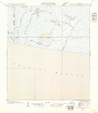
1954 · Constance Bayou SE
USGS Topo · 1:31,680
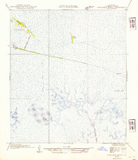
1954 · Constance Bayou NW
USGS Topo · 1:31,680
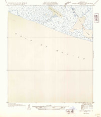
1954 · Constance Bayou SW
USGS Topo · 1:31,680

1954 · Port Arthur
USGS Topo · 1:250,000