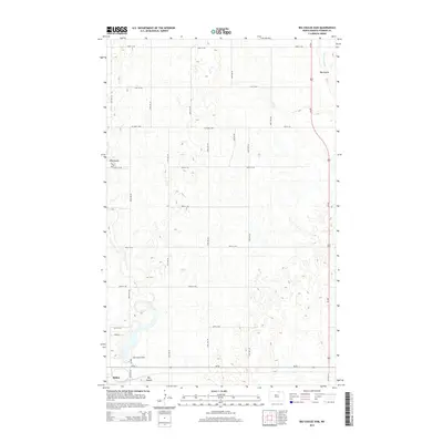
2014 Map of Big Coulee Dam
USGS Topo · Published 2014About this map
Bisbee anchors the southwestern corner of this North Dakota landscape, situated along the east-west corridor of ND-66. The surrounding terrain in Towner County is defined by the winding course of Mauvais Coulee, which meanders through a glaciated prairie landscape characterized by numerous small depressions and seasonal wetlands. North of the town center, the Big Coulee Dam regulates the water flow, creating a distinct hydrological focal point in an otherwise agricultural grid. The map reveals a highly structured rural transport network, where gravel routes like Higgins Rd and Perth Rd intersect with the primary north-south artery of Us 281. This 2014 survey documents the persistence of small northern plains settlements like Big Coulee and the intricate drainage patterns that dictate the placement of local infrastructure and section-line roads.
Find a feature on this map
23 named features on this map. Tap any name to fly to it.
Don’t see what you’re looking for? This feature index may not catch every label — zoom into the map to look around manually.
Map Details
Editions of this 2014 Big Coulee Dam Map
This is the sole edition of this map. No revisions or reprints were ever made.
Other maps of this area

1953 · Devils Lake
USGS Topo · 1:250,000

1956 · Devils Lake
USGS Topo · 1:250,000

1962 · Egeland SW
USGS Topo · 1:24,000

1962 · Snyder Lake
USGS Topo · 1:24,000

1970 · Hansboro SW
USGS Topo · 1:24,000

1970 · Hansboro SE
USGS Topo · 1:24,000

1970 · Rock Lake
USGS Topo · 1:24,000

1971 · Bisbee South
USGS Topo · 1:24,000

1971 · Considine
USGS Topo · 1:24,000

1971 · Bisbee North
USGS Topo · 1:24,000