
1971 Map of Considine
USGS Topo · Published 1973About this map
Bisbee anchors the northwestern corner of this 1971 survey, showing the town's layout and its Sewage Disposal Pond during a period of established agricultural commerce in Towner County. The Burlington Northern railroad cuts a diagonal path through the prairie, serving as the vital transport link for local grain and goods. Further south, the small community of Considine sits along the rail line, surrounded by the distinctive pothole wetland topography of the North Dakota plains. The landscape is defined by the wandering path of the Big Coulee, which drains toward the Johnson National Wildlife Refuge in the southern reaches of the map. This area, divided into the townships of Gerrard and Olson, reveals the intensive land management of the era, with several Gravel Pits and a network of section roads supporting the rural economy.
Find a feature on this map
10 named features on this map. Tap any name to fly to it.
Don’t see what you’re looking for? This feature index may not catch every label — zoom into the map to look around manually.
Map Details
Editions of this 1971 Considine Map
This is the sole edition of this map. No revisions or reprints were ever made.
Other maps of this area

1953 · Devils Lake
USGS Topo · 1:250,000

1956 · Devils Lake
USGS Topo · 1:250,000

1957 · Cando
USGS Topo · 1:24,000

1962 · Egeland SW
USGS Topo · 1:24,000

1962 · Snyder Lake
USGS Topo · 1:24,000

1971 · Bisbee South
USGS Topo · 1:24,000

1971 · Leeds NE
USGS Topo · 1:24,000

1971 · Bisbee North
USGS Topo · 1:24,000
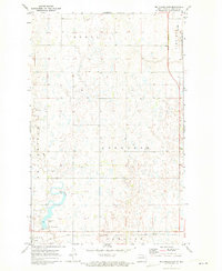
1971 · Big Coulee Dam
USGS Topo · 1:24,000
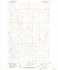
1971 · Hurricane Lake East
USGS Topo · 1:24,000