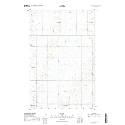
2017 Map of Big Coulee Dam
USGS Topo · Published 2017About this map
Bisbee anchors the southwestern corner of this Towner County landscape, which is defined by a dense network of sectional roads and the serpentine path of glacial meltwater channels. The terrain is marked by the presence of Big Coulee and Mauvais Coulee, whose winding beds cut through the agricultural grid. A notable piece of local infrastructure, the Big Coulee Dam, sits just east of the primary settlement, connected to the surrounding townships by Dam Rd. This 2017 survey reflects the enduring section-line organization of the North Dakota plains, with roads like Higgins Rd and various numbered avenues and streets providing a highly structured framework for the prairie geography. The area's hydrology is complex, with numerous small potholes and wetlands scattered across the plains between the larger coulee systems.
Find a feature on this map
28 named features on this map. Tap any name to fly to it.
Don’t see what you’re looking for? This feature index may not catch every label — zoom into the map to look around manually.
Map Details
Editions of this 2017 Big Coulee Dam Map
This is the sole edition of this map. No revisions or reprints were ever made.
Other maps of this area

1953 · Devils Lake
USGS Topo · 1:250,000

1956 · Devils Lake
USGS Topo · 1:250,000

1962 · Egeland SW
USGS Topo · 1:24,000

1962 · Snyder Lake
USGS Topo · 1:24,000

1970 · Hansboro SW
USGS Topo · 1:24,000

1970 · Hansboro SE
USGS Topo · 1:24,000

1970 · Rock Lake
USGS Topo · 1:24,000

1971 · Bisbee South
USGS Topo · 1:24,000

1971 · Considine
USGS Topo · 1:24,000

1971 · Bisbee North
USGS Topo · 1:24,000