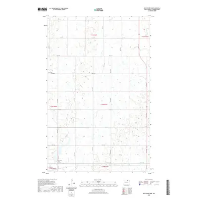
2020 Map of Big Coulee Dam
USGS Topo · Published 2020About this map
Bisbee sits at the southwestern edge of this Towner County landscape, a region defined by its numerous prairie potholes and intermittent waterways. The topography is dominated by the drainage systems of Mauvais Coulee and the area surrounding Big Coulee Dam. This 2020 survey illustrates the rigid, sectioned grid of North Dakota's agricultural heartland, where routes like Higgins Rd and Dam Rd provide access through the glaciated terrain. The map details the small settlement of Big Coulee and the water management infrastructure critical to this rural environment. Genealogists and local historians can trace the property divisions across multiple townships, including T160N R67W and T159N R68W, while observing the contemporary road network that connects these remote prairie communities.
Find a feature on this map
27 named features on this map. Tap any name to fly to it.
Don’t see what you’re looking for? This feature index may not catch every label — zoom into the map to look around manually.
Map Details
Editions of this 2020 Big Coulee Dam Map
This is the sole edition of this map. No revisions or reprints were ever made.
Other maps of this area

1953 · Devils Lake
USGS Topo · 1:250,000

1956 · Devils Lake
USGS Topo · 1:250,000

1962 · Egeland SW
USGS Topo · 1:24,000

1962 · Snyder Lake
USGS Topo · 1:24,000

1970 · Hansboro SW
USGS Topo · 1:24,000

1970 · Hansboro SE
USGS Topo · 1:24,000

1970 · Rock Lake
USGS Topo · 1:24,000

1971 · Bisbee South
USGS Topo · 1:24,000

1971 · Considine
USGS Topo · 1:24,000

1971 · Bisbee North
USGS Topo · 1:24,000