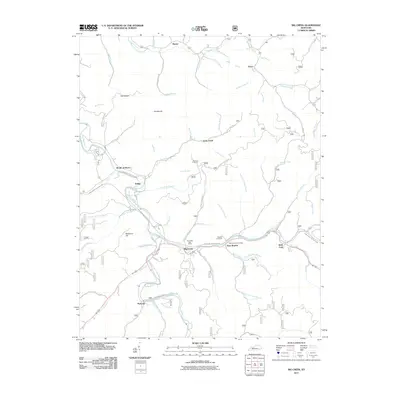
2011 Map of Big Creek
USGS Topo · Published 2011About this map
Red Bird River and its complex network of winding tributaries define this portion of Clay County, where small communities follow the narrow valley floors. The corridor along the Daniel Boone / Hal Rogers Pkwy serves as the primary artery connecting settlements like Big Creek and Bear Branch, both of which maintained their own postal facilities at the time of this survey. Genealogists will find notable family-named infrastructure, including Jesse Bowling Cemetery Rd and the Roberts Cemetery located near the junction of Grannys Branch Rd.
Find a feature on this map
69 named features on this map. Tap any name to fly to it.
Don’t see what you’re looking for? This feature index may not catch every label — zoom into the map to look around manually.
Map Details
Editions of this 2011 Big Creek Map
This is the sole edition of this map. No revisions or reprints were ever made.
Other maps of this area

1891 · Manchester
USGS Topo · 1:125,000

1891 · Hazard
USGS Topo · 1:125,000

1913 · Buckhorn
USGS Topo · 1:62,500

1916 · Hyden
USGS Topo · 1:48,000

1919 · Hyden
USGS Topo · 1:62,500

1953 · Buckhorn
USGS Topo · 1:24,000

1953 · Oneida
USGS Topo · 1:24,000

1953 · Hyden West
USGS Topo · 1:24,000

1953 · Big Creek
USGS Topo · 1:24,000

1953 · Mistletoe
USGS Topo · 1:24,000