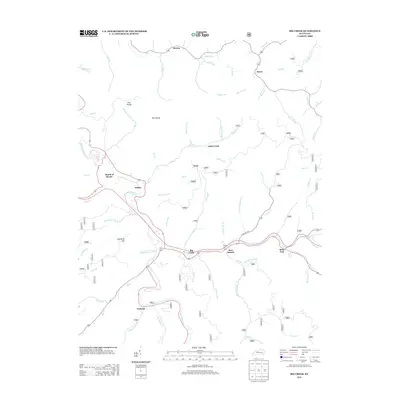
2013 Map of Big Creek
USGS Topo · Published 2013About this map
The Red Bird River winds through the heart of this landscape, anchoring a series of small communities and hollows in Clay County. In the early 21st century, the settlement of Big Creek serves as a primary hub along the river valley, flanked by the residential clusters at Bear Branch and Eriline. The presence of the Roberts Cem near the confluence of Big Cr and the river provides a focal point for genealogical interest, marking a legacy of local families tied to the bottomlands. To the north, the plateau of Flat Woods and the high ground of Newberry Hill overlook a dense network of branches and forks including Jacks Cr and Bullskin Cr. The map details a transition from the river-oriented life at Mouth of Hector to the more interior forest settlements like Peabody and Brutus, illustrating the persistent role of natural topography in shaping Kentucky's mountain communities.
Find a feature on this map
64 named features on this map. Tap any name to fly to it.
Don’t see what you’re looking for? This feature index may not catch every label — zoom into the map to look around manually.
Map Details
Editions of this 2013 Big Creek Map
This is the sole edition of this map. No revisions or reprints were ever made.
Other maps of this area

1891 · Manchester
USGS Topo · 1:125,000

1891 · Hazard
USGS Topo · 1:125,000

1913 · Buckhorn
USGS Topo · 1:62,500

1916 · Hyden
USGS Topo · 1:48,000

1919 · Hyden
USGS Topo · 1:62,500

1953 · Buckhorn
USGS Topo · 1:24,000

1953 · Oneida
USGS Topo · 1:24,000

1953 · Hyden West
USGS Topo · 1:24,000

1953 · Big Creek
USGS Topo · 1:24,000

1953 · Mistletoe
USGS Topo · 1:24,000