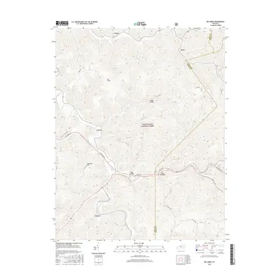
2016 Map of Big Creek
USGS Topo · Published 2016About this map
Daniel Boone National Forest covers much of this landscape, where the ridges and hollows of eastern Kentucky define a complex network of narrow valley settlements. The community of Big Creek serves as a central hub, situated along the Hal Rogers Pky as it winds through the hills. This modern survey illustrates how infrastructure like the State Hwy 149 Hector Rd and Cold Springs road connects dispersed residential clusters such as Bear Branch, Peabody, and Eriline.
Find a feature on this map
19 named features on this map. Tap any name to fly to it.
Don’t see what you’re looking for? This feature index may not catch every label — zoom into the map to look around manually.
Map Details
Editions of this 2016 Big Creek Map
This is the sole edition of this map. No revisions or reprints were ever made.
Other maps of this area

1891 · Manchester
USGS Topo · 1:125,000

1891 · Hazard
USGS Topo · 1:125,000

1913 · Buckhorn
USGS Topo · 1:62,500

1916 · Hyden
USGS Topo · 1:48,000

1919 · Hyden
USGS Topo · 1:62,500

1953 · Buckhorn
USGS Topo · 1:24,000

1953 · Oneida
USGS Topo · 1:24,000

1953 · Hyden West
USGS Topo · 1:24,000

1953 · Big Creek
USGS Topo · 1:24,000

1953 · Mistletoe
USGS Topo · 1:24,000