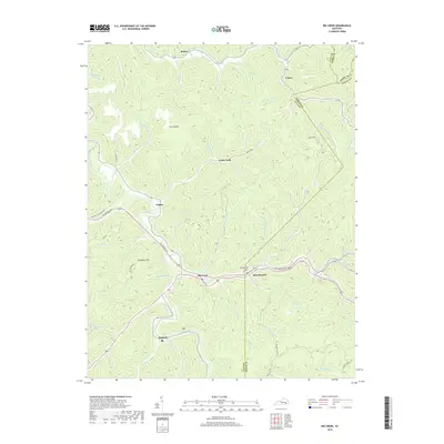
2019 Map of Big Creek
USGS Topo · Published 2019About this map
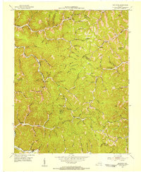
Red Bird River meanders through this deeply dissected portion of the Cumberland Plateau, where Clay, Leslie, and Perry counties meet. The landscape is defined by its complex drainage network, where the river meets Big Creek and Jacks Creek, creating a hub of small settlements along the valley floors. High ridges such as Trace Ridge and Newberry Hill separate the narrow hollows, illustrating the classic Appalachian settlement pattern where roads and homes follow the winding paths of Bullskin Creek and its many tributaries.
Find a feature on this map
79 named features on this map. Tap any name to fly to it.
Don’t see what you’re looking for? This feature index may not catch every label — zoom into the map to look around manually.
Map Details
Editions of this 2019 Big Creek Map
This is the sole edition of this map. No revisions or reprints were ever made.
Other maps of this area

1891 · Manchester
USGS Topo · 1:125,000

1891 · Hazard
USGS Topo · 1:125,000
1913 · Buckhorn
USGS Topo · 1:62,500
1916 · Hyden
USGS Topo · 1:48,000
1919 · Hyden
USGS Topo · 1:62,500
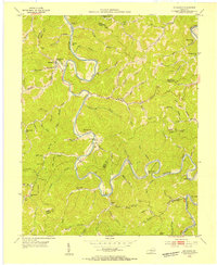
1953 · Buckhorn
USGS Topo · 1:24,000
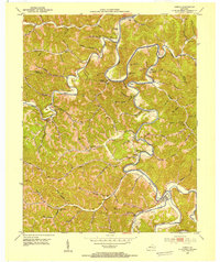
1953 · Oneida
USGS Topo · 1:24,000
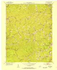
1953 · Hyden West
USGS Topo · 1:24,000
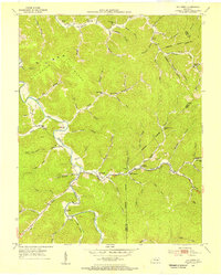
1953 · Big Creek
USGS Topo · 1:24,000
1953 · Mistletoe
USGS Topo · 1:24,000