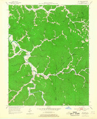
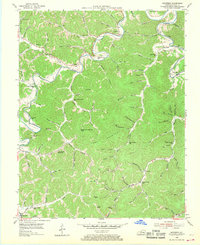
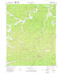
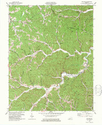
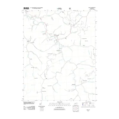
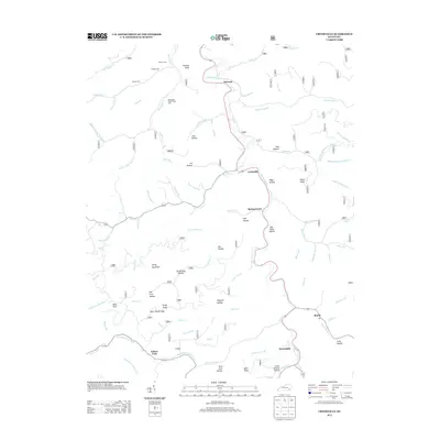
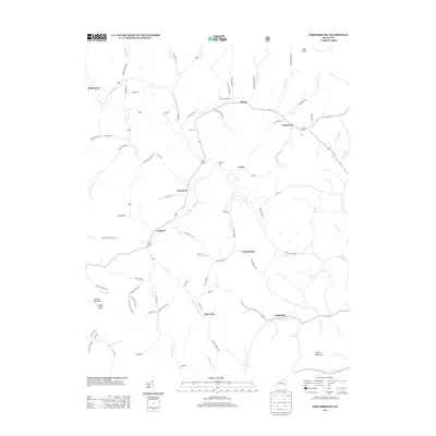
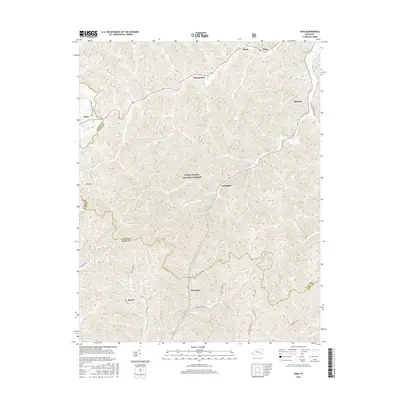
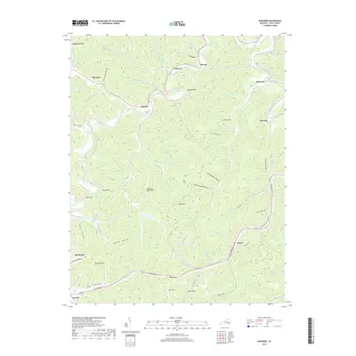
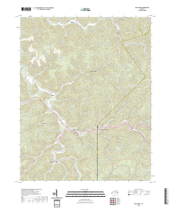
1953 Map of Big Creek
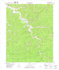
USGS Topo · Published 1968About this map
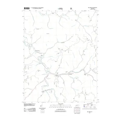
Big Creek serves as a central hub in this remote corner of Clay County, where the settlement patterns follow the winding paths of the Red River and its numerous tributaries. The landscape in the early 1950s is defined by a dense network of mountain hollows and ridges, including the broad upland area known as the Flatwoods. This era shows a transition in land use, where traditional Appalachian life is represented by numerous country schools like Bear Branch Sch and Peabody Sch, while the emergence of industrial activity is evidenced by a Strip Mine and scattered Gas Well sites.
Find a feature on this map
70 named features on this map. Tap any name to fly to it.
Don’t see what you’re looking for? This feature index may not catch every label — zoom into the map to look around manually.
Map Details
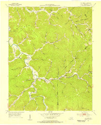
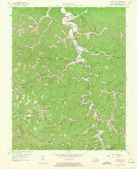
Editions of this 1953 Big Creek Map
2 editions found
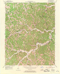
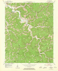
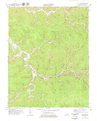
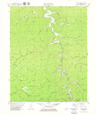
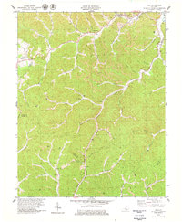
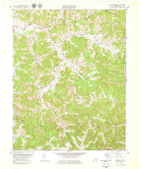
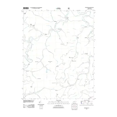
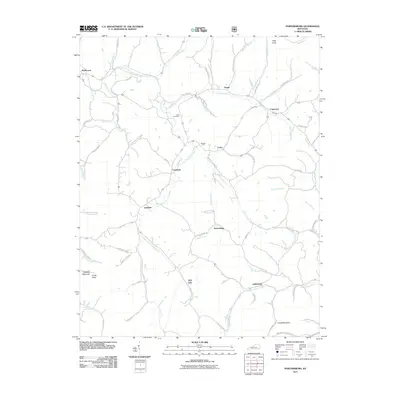
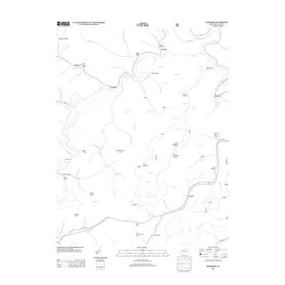
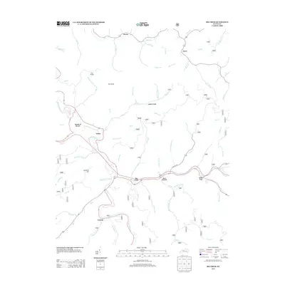
Historical Maps of Big Creek Through Time
49 maps found
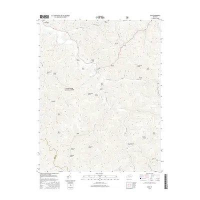
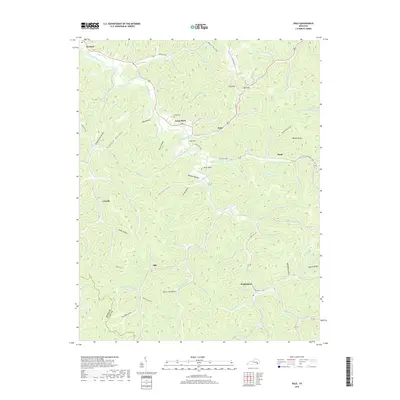
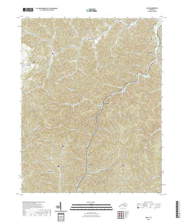
1952 Hima
Clay County, KY
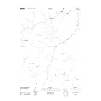
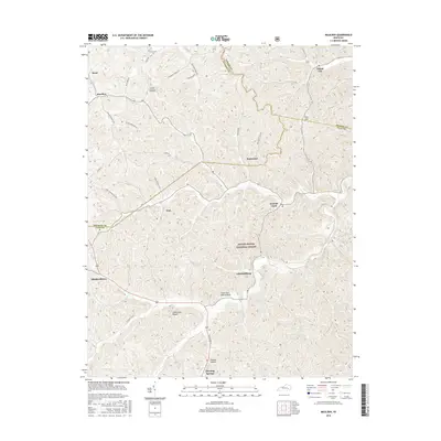
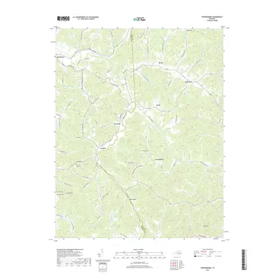
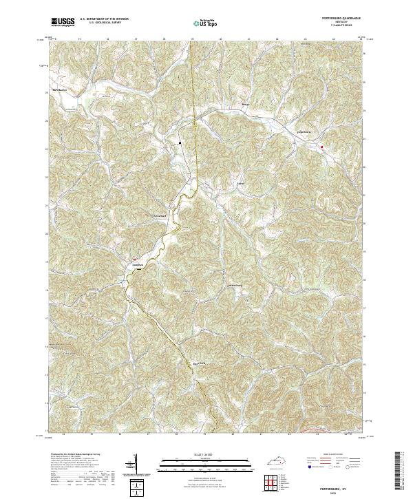
1952 Portersburg
Clay County, KY
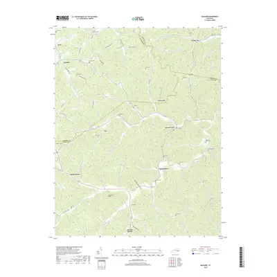
1953 Big Creek
Clay County, KY
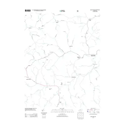
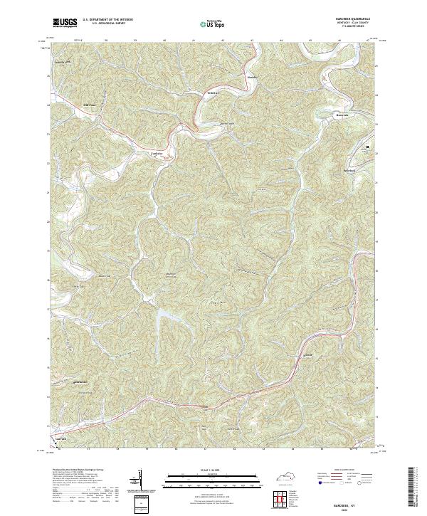
1954 Barcreek
Clay County, KY
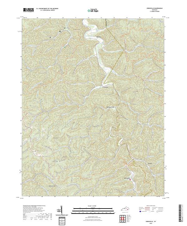
1954 Creekville
Clay County, KY
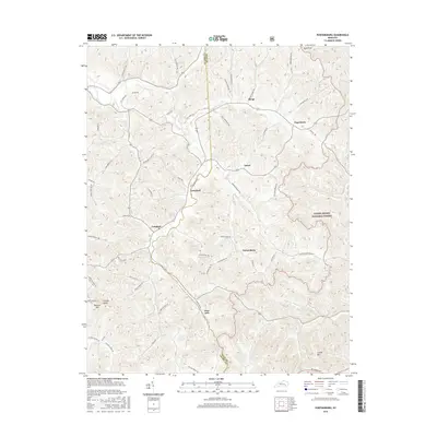
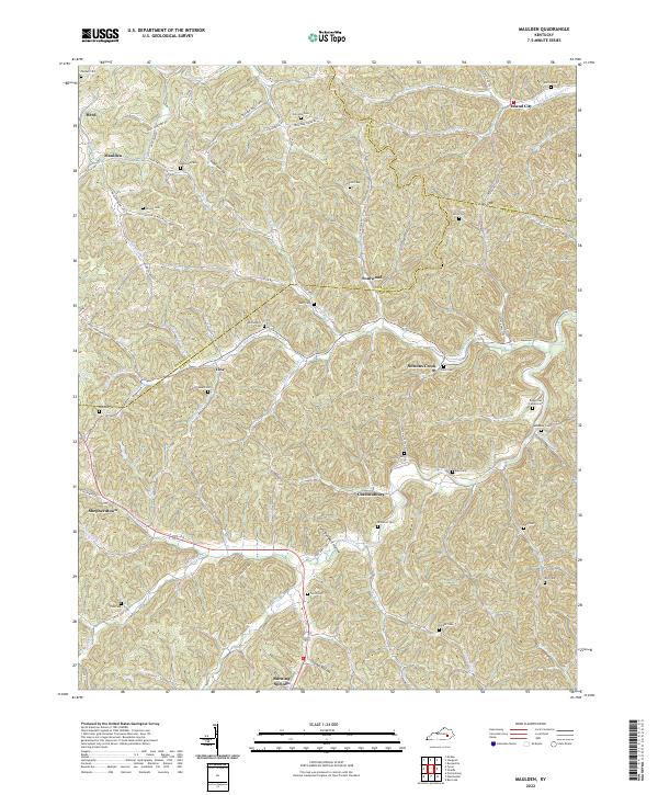
1954 Maulden
Clay County, KY
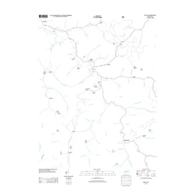
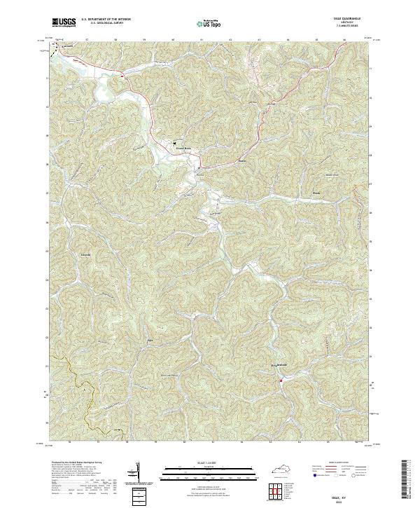
1954 Ogle
Clay County, KY
1979 Barcreek
Clay County, KY
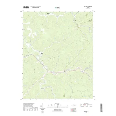
1979 Big Creek
Clay County, KY
1979 Creekville
Clay County, KY
1979 Hima
Clay County, KY
1979 Maulden
Clay County, KY
1979 Ogle
Clay County, KY
1979 Portersburg
Clay County, KY
2011 Barcreek
Clay County, KY
2011 Big Creek
Clay County, KY
2011 Creekville
Clay County, KY
2011 Hima
Clay County, KY
2011 Maulden
Clay County, KY
2011 Ogle
Clay County, KY
2011 Portersburg
Clay County, KY
2013 Barcreek
Clay County, KY
2013 Big Creek
Clay County, KY
2013 Creekville
Clay County, KY
2013 Hima
Clay County, KY
2013 Maulden
Clay County, KY
2013 Ogle
Clay County, KY
2013 Portersburg
Clay County, KY
2016 Barcreek
Clay County, KY
2016 Big Creek
Clay County, KY
2016 Creekville
Clay County, KY
2016 Hima
Clay County, KY
2016 Maulden
Clay County, KY
2016 Ogle
Clay County, KY
2016 Portersburg
Clay County, KY
2019 Barcreek
Clay County, KY
2019 Big Creek
Clay County, KY
2019 Creekville
Clay County, KY
2019 Hima
Clay County, KY
2019 Maulden
Clay County, KY
2019 Ogle
Clay County, KY
2019 Portersburg
Clay County, KY
2022 Barcreek
Clay County, KY
2022 Big Creek
Clay County, KY
2022 Creekville
Clay County, KY
2022 Hima
Clay County, KY
2022 Maulden
Clay County, KY
2022 Ogle
Clay County, KY
2022 Portersburg
Clay County, KY