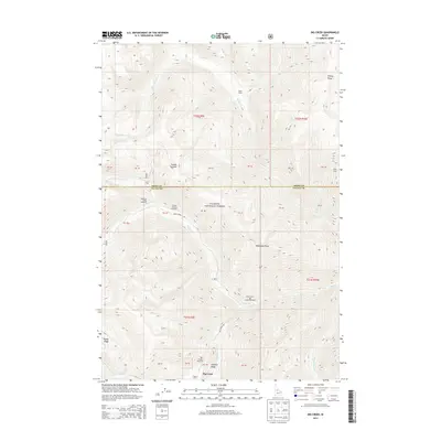
2013 Map of Big Creek
USGS Topo · Published 2013About this map
Payette National Forest dominates this high-altitude landscape where the boundary between Idaho and Valley Counties follows the drainage divide. The remote settlement of Big Creek serves as a vital backcountry hub, anchored by the Big Creek Airport and the junction of Big Creek Road and Smith Creek Road. This area is a critical access point for wilderness travel, featuring established staging grounds like the Mosquito Ridge Trailhead and the Smith Creek-Big Creek Trailhead.
Find a feature on this map
44 named features on this map. Tap any name to fly to it.
Don’t see what you’re looking for? This feature index may not catch every label — zoom into the map to look around manually.
Map Details
Editions of this 2013 Big Creek Map
This is the sole edition of this map. No revisions or reprints were ever made.
Other maps of this area

1937 · Big Creek
USGS Topo · 1:48,000

1942 · Big Creek
USGS Topo · 1:62,500

1956 · Elk City
USGS Topo · 1:250,000

1960 · Elk City
USGS Topo · 1:250,000

1969 · Edwardsburg
USGS Topo · 1:24,000

1969 · Profile Gap
USGS Topo · 1:24,000

1969 · Wolf Fang Peak
USGS Topo · 1:24,000

1969 · Big Creek
USGS Topo · 1:24,000

1973 · Center Mtn
USGS Topo · 1:24,000

1973 · Bismark Mtn
USGS Topo · 1:24,000