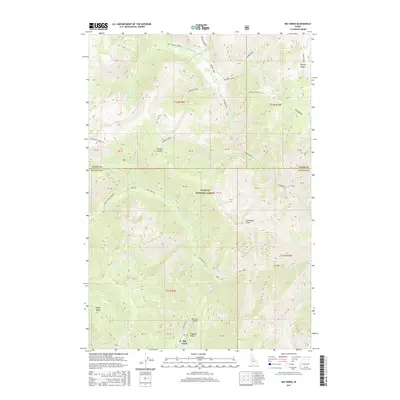
2017 Map of Big Creek
USGS Topo · Published 2017About this map
Big Creek serves as a central hub in this high-altitude landscape where the boundaries of Idaho and Valley Counties meet. This 2017 survey details the remote reaches of the Payette National Forest, a terrain dominated by significant elevations such as Ramey Ridge and Pueblo Summit. Access into this interior is primarily facilitated by the Big Creek Rd and Smith Creek Rd, alongside the Big Creek Airport, which underscores the isolation of the area. A complex drainage system defines the topography, with Boulder Creek and Smith Creek carving through the steep ridgelines. The map documents numerous survey points and forest cutoffs like the Mayhan Cutoff, illustrating how modern management and historical transit routes continue to navigate this part of the Salmon River Mountains.
Find a feature on this map
45 named features on this map. Tap any name to fly to it.
Don’t see what you’re looking for? This feature index may not catch every label — zoom into the map to look around manually.
Map Details
Editions of this 2017 Big Creek Map
This is the sole edition of this map. No revisions or reprints were ever made.
Other maps of this area

1937 · Big Creek
USGS Topo · 1:48,000

1942 · Big Creek
USGS Topo · 1:62,500

1956 · Elk City
USGS Topo · 1:250,000

1960 · Elk City
USGS Topo · 1:250,000

1969 · Edwardsburg
USGS Topo · 1:24,000

1969 · Profile Gap
USGS Topo · 1:24,000

1969 · Wolf Fang Peak
USGS Topo · 1:24,000

1969 · Big Creek
USGS Topo · 1:24,000

1973 · Center Mtn
USGS Topo · 1:24,000

1973 · Bismark Mtn
USGS Topo · 1:24,000