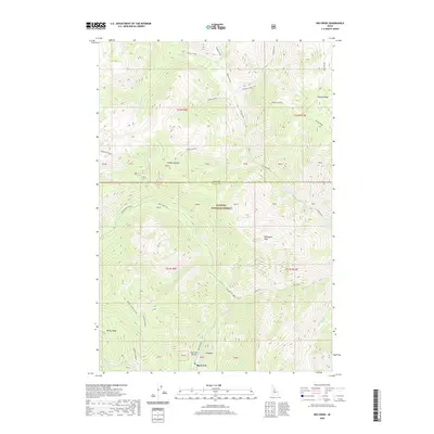
2020 Map of Big Creek
USGS Topo · Published 2020About this map
Big Creek serves as a isolated outpost within the Payette National Forest, situated at the confluence of several high-mountain drainages. The landscape is defined by its mining history and rugged backcountry access, evidenced by the Big Creek Airport and the network of roads like Big Creek Rd and Smith Creek Rd. These routes track the legacy of mineral exploration along the steep drainages of Smith Creek and Placer Creek.
Find a feature on this map
48 named features on this map. Tap any name to fly to it.
Don’t see what you’re looking for? This feature index may not catch every label — zoom into the map to look around manually.
Map Details
Editions of this 2020 Big Creek Map
This is the sole edition of this map. No revisions or reprints were ever made.
Other maps of this area

1937 · Big Creek
USGS Topo · 1:48,000

1942 · Big Creek
USGS Topo · 1:62,500

1956 · Elk City
USGS Topo · 1:250,000

1960 · Elk City
USGS Topo · 1:250,000

1969 · Edwardsburg
USGS Topo · 1:24,000

1969 · Profile Gap
USGS Topo · 1:24,000

1969 · Wolf Fang Peak
USGS Topo · 1:24,000

1969 · Big Creek
USGS Topo · 1:24,000

1973 · Center Mtn
USGS Topo · 1:24,000

1973 · Bismark Mtn
USGS Topo · 1:24,000