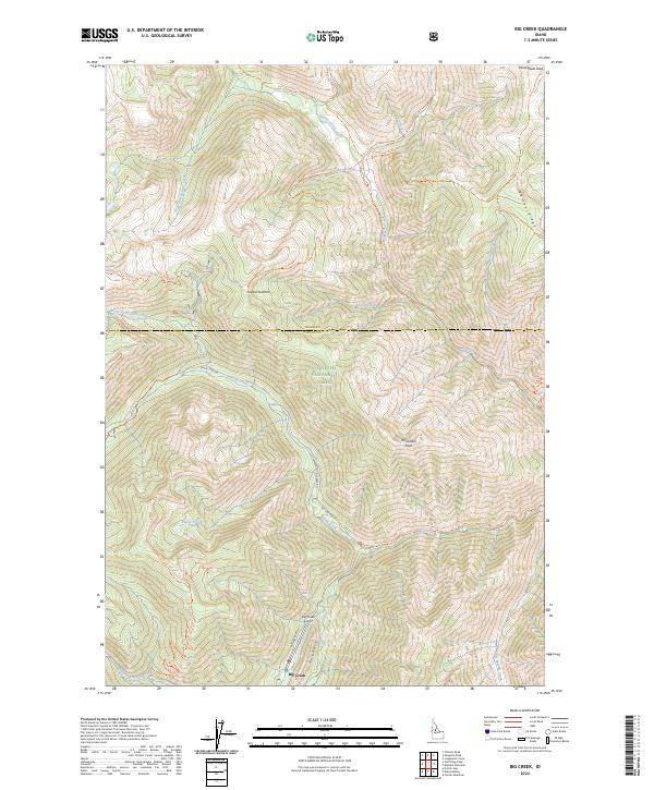
2024 Map of Big Creek
USGS Topo · Published 2024About this map
Big Creek serves as a vital mountain outpost within the sprawling Payette National Forest, where the settlement and its Big Creek Airport provide essential access to the central Idaho backcountry. The landscape is defined by the intersection of the Frank Church-River of No Return Wilderness and major ridge systems like Ramey Ridge and the Hogback. A dense network of historic pack routes and modern forest roads, including the Smith Creek Rd and the Golden Cup Mine Trl, traces the paths of early twentieth-century prospectors and forest rangers. The map details the drainage patterns of Beaver Creek and the North Fork Smith Creek, illustrating how the terrain dictated the placement of essential landmarks like Pueblo Summit and McFadden Point in this remote wilderness corridor.
Find a feature on this map
38 named features on this map. Tap any name to fly to it.
Don’t see what you’re looking for? This feature index may not catch every label — zoom into the map to look around manually.
Map Details
Editions of this 2024 Big Creek Map
This is the sole edition of this map. No revisions or reprints were ever made.
Other maps of this area

1937 · Big Creek
USGS Topo · 1:48,000

1942 · Big Creek
USGS Topo · 1:62,500

1956 · Elk City
USGS Topo · 1:250,000

1960 · Elk City
USGS Topo · 1:250,000

1969 · Edwardsburg
USGS Topo · 1:24,000

1969 · Profile Gap
USGS Topo · 1:24,000

1969 · Wolf Fang Peak
USGS Topo · 1:24,000

1969 · Big Creek
USGS Topo · 1:24,000

1973 · Center Mtn
USGS Topo · 1:24,000

1973 · Bismark Mtn
USGS Topo · 1:24,000