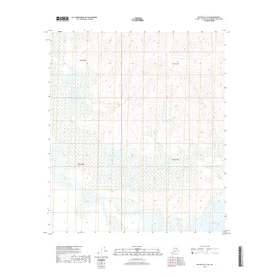
2018 Map of Big Delta A-2 SW
USGS Topo · Published 2018About this map
Tanana River waters dominate the southern reaches of this landscape, where the wide river valley meets a complex network of wetlands and smaller tributaries. The confluence of the Healy River and the expansive Healy Lake provides a clear view of the hydrological patterns of the Southeast Fairbanks Census Area. Moving north, the terrain transitions into the upland drainages of the Volkmar River, which carves through the surveyed boundaries of t9s r14e and t9s r15e. This 2018 survey illustrates the vast, undeveloped character of the Alaska interior, documenting the natural intersection of major glacial river systems and high-latitude lake basins before they reach more settled corridors.
Find a feature on this map
8 named features on this map. Tap any name to fly to it.
Don’t see what you’re looking for? This feature index may not catch every label — zoom into the map to look around manually.
Map Details
Editions of this 2018 Big Delta A-2 SW Map
This is the sole edition of this map. No revisions or reprints were ever made.
Other maps of this area

1950 · Mount Hayes
USGS Topo · 1:250,000

1950 · Big Delta
USGS Topo · 1:250,000

1951 · Big Delta
USGS Topo · 1:250,000

1951 · Mount Hayes
USGS Topo · 1:250,000

1954 · Mount Hayes D-2
USGS Topo · 1:63,360

1954 · Mount Hayes D-3
USGS Topo · 1:63,360

1954 · Big Delta A-2
USGS Topo · 1:63,360

1955 · Big Delta A-3
USGS Topo · 1:63,360

1955 · Big Delta A-2
USGS Topo · 1:63,360

1955 · Mount Hayes D-2
USGS Topo · 1:63,360