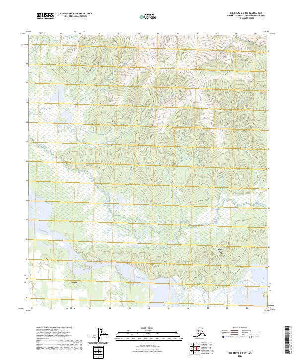
2024 Map of Big Delta A-2 SW
USGS Topo · Published 2024About this map
Tanana River and its associated tributaries dominate the low-lying wetlands and complex waterways in this interior Alaskan landscape. The Volkmar River meanders through the northeast, while the Healy River feeds into the expansive Healy Lake in the southeast. This region illustrates the significant hydrographic patterns of the Southeast Fairbanks Census Area, where land use is largely defined by the movement of water across the flats. The small settlement of Deltana appears near the southern edge of the survey, situated along the river system. The map reflects a modern view of these remote waterways, detailing the intricate boundaries of t10s r14e and neighboring townships where the terrain transitions from dense marshland to the rising elevations of the surrounding hills.
Find a feature on this map
9 named features on this map. Tap any name to fly to it.
Don’t see what you’re looking for? This feature index may not catch every label — zoom into the map to look around manually.
Map Details
Editions of this 2024 Big Delta A-2 SW Map
This is the sole edition of this map. No revisions or reprints were ever made.
Other maps of this area

1950 · Mount Hayes
USGS Topo · 1:250,000

1950 · Big Delta
USGS Topo · 1:250,000

1951 · Big Delta
USGS Topo · 1:250,000

1951 · Mount Hayes
USGS Topo · 1:250,000

1954 · Mount Hayes D-2
USGS Topo · 1:63,360

1954 · Mount Hayes D-3
USGS Topo · 1:63,360

1954 · Big Delta A-2
USGS Topo · 1:63,360

1955 · Big Delta A-3
USGS Topo · 1:63,360

1955 · Big Delta A-2
USGS Topo · 1:63,360

1955 · Mount Hayes D-2
USGS Topo · 1:63,360