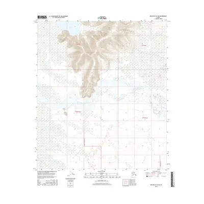
2016 Map of Big Delta A-3 SE
USGS Topo · Published 2016About this map
Volkmar Lake sits at the northern edge of this Interior Alaska landscape, where the elevation rises sharply from the marshy lowlands of the river basins. The topography is dominated by the braided course of the Tanana River and the sweeping wetlands fed by the Volkmar River and Gerstle River. This environment highlights the transition from water-heavy lowlands to higher ground, with drainage patterns shaped by Clearwater Cr. Infrastructure is notably sparse in this region, defined primarily by agricultural access and rural development along Sawmill Road Ag 1403 and Cummings Street. The layout of township and range boundaries, including t9s r13e and t10s r14e, reflects the systematic surveying of the Unorganized Borough during the early 21st century.
Find a feature on this map
11 named features on this map. Tap any name to fly to it.
Don’t see what you’re looking for? This feature index may not catch every label — zoom into the map to look around manually.
Map Details
Editions of this 2016 Big Delta A-3 SE Map
This is the sole edition of this map. No revisions or reprints were ever made.
Other maps of this area

1950 · Mount Hayes
USGS Topo · 1:250,000

1950 · Big Delta
USGS Topo · 1:250,000

1951 · Big Delta
USGS Topo · 1:250,000

1951 · Mount Hayes
USGS Topo · 1:250,000

1954 · Mount Hayes D-2
USGS Topo · 1:63,360

1954 · Mount Hayes D-3
USGS Topo · 1:63,360

1954 · Big Delta A-2
USGS Topo · 1:63,360

1955 · Big Delta A-3
USGS Topo · 1:63,360

1955 · Big Delta A-2
USGS Topo · 1:63,360

1955 · Mount Hayes D-2
USGS Topo · 1:63,360