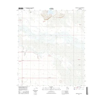
2016 Map of Big Delta A-3 SW
USGS Topo · Published 2016About this map
The Tanana River cuts a wide, braided path through this interior Alaskan landscape, defining a region dominated by wetlands and complex water systems. Near the southern reaches of the Tanana River, the settlement of Deltana sits amidst a network of rural roads that suggest the area's modern development and land division. To the north, the Goodpaster Flats represent a significant expanse of low-lying terrain where the land yields to water. The hydrology is further defined by the winding course of Clearwater Creek and the smaller Sawmill Creek, illustrating the drainage patterns typical of this subarctic environment. A structured grid of local thoroughfares, including Hanson Road and Nistler Road, provides access to the interior, contrasting the wilder marshlands found in the northern quadrants.
Find a feature on this map
21 named features on this map. Tap any name to fly to it.
Don’t see what you’re looking for? This feature index may not catch every label — zoom into the map to look around manually.
Map Details
Editions of this 2016 Big Delta A-3 SW Map
This is the sole edition of this map. No revisions or reprints were ever made.
Other maps of this area

1950 · Mount Hayes
USGS Topo · 1:250,000

1950 · Big Delta
USGS Topo · 1:250,000

1950 · Mount Hayes D-4
USGS Topo · 1:63,360

1950 · Big Delta A-4
USGS Topo · 1:63,360

1951 · Big Delta
USGS Topo · 1:250,000

1951 · Mount Hayes
USGS Topo · 1:250,000

1952 · Mount Hayes D-4
USGS Topo · 1:63,360

1952 · Big Delta A-4
USGS Topo · 1:63,360

1954 · Mount Hayes D-3
USGS Topo · 1:63,360

1955 · Big Delta A-3
USGS Topo · 1:63,360