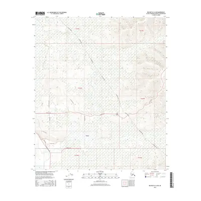
2016 Map of Big Delta C-6 SW
USGS Topo · Published 2016About this map
Salcha sits at the heart of this Tanana Valley landscape, where the southern reaches of the Fairbanks North Star Borough transition from river lowlands to rising interior terrain. The Alaska Pipeline forms a prominent corridor across the map, cutting a diagonal path through the northern and eastern sections. This infrastructure-heavy landscape is further defined by the Richardson Highway, which parallels the Little Salcha River in the southwestern corner.
Find a feature on this map
21 named features on this map. Tap any name to fly to it.
Don’t see what you’re looking for? This feature index may not catch every label — zoom into the map to look around manually.
Map Details
Editions of this 2016 Big Delta C-6 SW Map
This is the sole edition of this map. No revisions or reprints were ever made.
Other maps of this area

1949 · Big Delta B-6
USGS Topo · 1:63,360

1949 · Fairbanks C-1
USGS Topo · 1:63,360

1949 · Big Delta C-6
USGS Topo · 1:63,360

1950 · Fairbanks
USGS Topo · 1:250,000

1950 · Big Delta
USGS Topo · 1:250,000

1950 · Fairbanks C-1
USGS Topo · 1:63,360

1950 · Fairbanks B-1
USGS Topo · 1:63,360

1951 · Big Delta
USGS Topo · 1:250,000
1951 · Fairbanks B-1
USGS Topo · 1:63,360

1951 · Fairbanks
USGS Topo · 1:250,000