
1950 Map of Fairbanks B-1
USGS Topo · Published 1965About this map
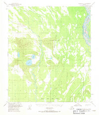
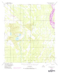
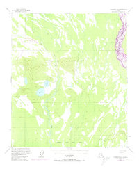
The Blair Lake Air Force Range dominates this mid-century Alaskan landscape, centered on a strategic interior region south of Fairbanks. The terrain is defined by the braided channels of the Tanana River in the northeast and a complex network of wetlands and small lakes further south. Aviation and military utility are central to the map's features, evidenced by the Landing Strip situated between the primary Blair Lakes. This remote territory includes landmarks such as VABM Flat 1406 and the winding course of Dry Creek, which meanders through the range. The sparse infrastructure suggests a landscape primarily dedicated to military training and surveying in the years following World War II, before significant civilian development altered the regional character.
Find a feature on this map
6 named features on this map. Tap any name to fly to it.
Don’t see what you’re looking for? This feature index may not catch every label — zoom into the map to look around manually.
Map Details
Editions of this 1950 Fairbanks B-1 Map
4 editions found
Other maps of this area

1949 · Big Delta B-6
USGS Topo · 1:63,360

1949 · Fairbanks C-1
USGS Topo · 1:63,360

1949 · Big Delta C-6
USGS Topo · 1:63,360

1949 · Fairbanks C-2
USGS Topo · 1:63,360

1949 · Big Delta A-6
USGS Topo · 1:63,360

1949 · Fairbanks A-2
USGS Topo · 1:63,360

1949 · Fairbanks A-1
USGS Topo · 1:63,360

1950 · Fairbanks
USGS Topo · 1:250,000

1950 · Big Delta
USGS Topo · 1:250,000

1950 · Fairbanks C-1
USGS Topo · 1:63,360