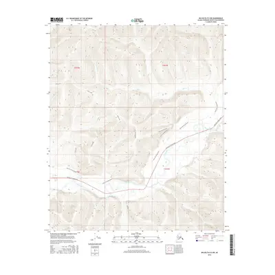
2016 Map of Big Delta D-5 NW
USGS Topo · Published 2016About this map
The Chena River winds through the southern reaches of this interior Alaskan landscape, serving as the primary drainage for a network of tributary creeks. The modern Chena Hot Springs Road provides the main arterial access through the valley, roughly paralleling the river's course. Traces of older transport routes are evident in the Chena Hot Springs Winter trail, which navigates the northern slopes and high ground. This 2016 survey illustrates the relationship between the contemporary road system and the historical winter trails that long dictated movement through the Fairbanks North Star Borough. Uplands are drained by Stiles Creek, Mastadon Cr, and Rock Cr, while the Stiles Creek Extension suggests further navigational development into the northern hills.
Find a feature on this map
14 named features on this map. Tap any name to fly to it.
Don’t see what you’re looking for? This feature index may not catch every label — zoom into the map to look around manually.
Map Details
Editions of this 2016 Big Delta D-5 NW Map
This is the sole edition of this map. No revisions or reprints were ever made.
Other maps of this area

1950 · Big Delta
USGS Topo · 1:250,000

1950 · Big Delta D-6
USGS Topo · 1:63,360

1951 · Big Delta
USGS Topo · 1:250,000

1951 · Circle
USGS Topo · 1:250,000

1951 · Circle A-5
USGS Topo · 1:63,360

1952 · Big Delta D-6
USGS Topo · 1:63,360

1952 · Circle A-5
USGS Topo · 1:63,360

1954 · Circle A-6
USGS Topo · 1:63,360

1954 · Circle A-5
USGS Topo · 1:63,360

1955 · Circle
USGS Topo · 1:250,000