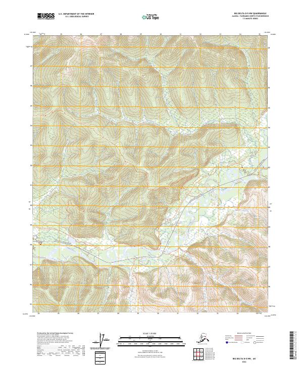
2024 Map of Big Delta D-5 NW
USGS Topo · Published 2024About this map
The Chena River meanders through this portion of the Fairbanks North Star Borough, serving as the central drainage for a landscape defined by sharp elevation changes and dense creek networks. The interior Alaskan wilderness here is navigated primarily via the Chena Hot Springs Road, which parallels the river valley, and a series of historic corridors including the Chena Hot Springs Winter Trail.
Find a feature on this map
15 named features on this map. Tap any name to fly to it.
Don’t see what you’re looking for? This feature index may not catch every label — zoom into the map to look around manually.
Map Details
Editions of this 2024 Big Delta D-5 NW Map
This is the sole edition of this map. No revisions or reprints were ever made.
Other maps of this area

1950 · Big Delta
USGS Topo · 1:250,000

1950 · Big Delta D-6
USGS Topo · 1:63,360

1951 · Big Delta
USGS Topo · 1:250,000

1951 · Circle
USGS Topo · 1:250,000

1951 · Circle A-5
USGS Topo · 1:63,360

1952 · Big Delta D-6
USGS Topo · 1:63,360

1952 · Circle A-5
USGS Topo · 1:63,360

1954 · Circle A-6
USGS Topo · 1:63,360

1954 · Circle A-5
USGS Topo · 1:63,360

1955 · Circle
USGS Topo · 1:250,000