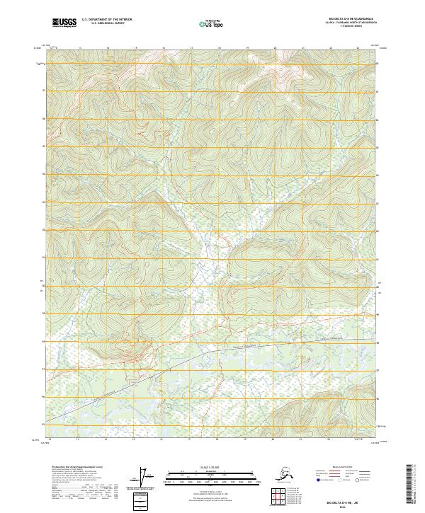
2024 Map of Big Delta D-6 NE
USGS Topo · Published 2024About this map
The Chena River and its South Fork Chena River dominate the lowlands of this Interior Alaska landscape, where seasonal movement and recreation are defined by an intricate network of specialized paths. Modern access via Chena Hot Springs Road contrasts with the area's legacy of winter travel, visible in the routes of the Colorado Creek Winter Trl and the Chena Hot Springs Winter Trl. These trails suggest a history of seasonal freighting and wilderness navigation through the river valley. Higher ground is marked by features like the Little Chena-Dozier Line Trl and Stiles Creek Trl, while the marshy flats near Holgins Slough illustrate the complex hydrology of the river’s floodplain. For those interested in outdoor heritage, the presence of the Twin Bears Ski Trl indicates the contemporary recreational value of this Fairbanks North Star Borough territory.
Find a feature on this map
16 named features on this map. Tap any name to fly to it.
Don’t see what you’re looking for? This feature index may not catch every label — zoom into the map to look around manually.
Map Details
Editions of this 2024 Big Delta D-6 NE Map
This is the sole edition of this map. No revisions or reprints were ever made.
Other maps of this area

1950 · Big Delta
USGS Topo · 1:250,000

1950 · Big Delta D-6
USGS Topo · 1:63,360

1951 · Big Delta
USGS Topo · 1:250,000

1951 · Circle
USGS Topo · 1:250,000

1951 · Circle A-5
USGS Topo · 1:63,360

1952 · Big Delta D-6
USGS Topo · 1:63,360

1952 · Circle A-5
USGS Topo · 1:63,360

1954 · Circle A-6
USGS Topo · 1:63,360

1954 · Circle A-5
USGS Topo · 1:63,360

1955 · Circle
USGS Topo · 1:250,000