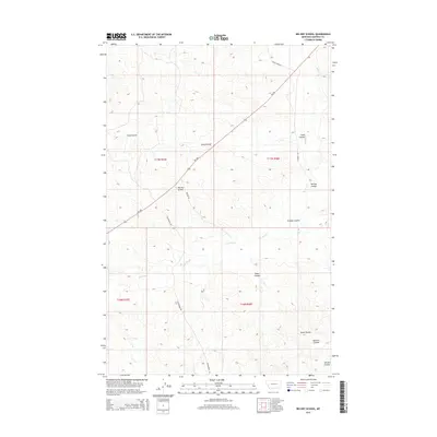
2014 Map of Big Dry School
USGS Topo · Published 2014About this map
Big Dry School stands as a central landmark in this expansive Garfield County landscape, located at the junction of MT-200 and Dutton Ln. The terrain is defined by a series of drainage systems, most notably Big Dry Cr, which is fed by numerous named coulees that reveal the area's intricate topography. Named features like Long Coulee, Graham Coulee, and Harston Coulee segment the high plains, illustrating the water-carved geography of eastern Montana. Local transport follows a network of established routes including Steves Fork Rd and Guesanburg Rd, which trace the contours of the land between the township and range boundaries of t17n r35e and t16n r36e. This 2014 survey documents a region where ranching and rural education infrastructure remain tied to the natural drainages of the Missouri River watershed.
Find a feature on this map
16 named features on this map. Tap any name to fly to it.
Don’t see what you’re looking for? This feature index may not catch every label — zoom into the map to look around manually.
Map Details
Editions of this 2014 Big Dry School Map
This is the sole edition of this map. No revisions or reprints were ever made.
Other maps of this area

1954 · Jordan
USGS Topo · 1:250,000

1956 · Jordan
USGS Topo · 1:250,000

1958 · Jordan
USGS Topo · 1:250,000

1964 · Jordan
USGS Topo · 1:250,000

1965 · Robertson School
USGS Topo · 1:24,000

1965 · Big Dry School
USGS Topo · 1:24,000

1965 · Edwards
USGS Topo · 1:24,000

1965 · Ziegele Coulee
USGS Topo · 1:24,000
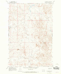
1965 · Fig Mountain
USGS Topo · 1:24,000
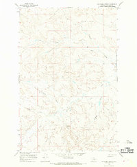
1965 · Van Dusen Spring
USGS Topo · 1:24,000