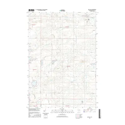
2015 Map of Big Falls
USGS Topo · Published 2015About this map
The Little Wolf River and its various forks and tributaries define the geography of this Waupaca County landscape, carving through the terrain near the village of Big Falls. The river is impounded at the Big Falls Pond near the northern edge of the map, while further south, the Central County Airport and the village of Iola serve as local hubs. This 2015 survey reveals a mosaic of wetland basins and small glacial lakes, such as Hatch Lake, Kating Lake, and Goodhal Lake. Genealogy researchers will find several well-defined burial grounds including Big Falls Cem, Hitterdahl Cem, and Iola Cem, often located near primary township roads like Co Rd G and Co Rd C. The map illustrates a developed rural network where water courses like Whitcomb Cr and N Fork Blake Cr dictate the placement of local thoroughfares and homesteads.
Find a feature on this map
72 named features on this map. Tap any name to fly to it.
Don’t see what you’re looking for? This feature index may not catch every label — zoom into the map to look around manually.
Map Details
Editions of this 2015 Big Falls Map
This is the sole edition of this map. No revisions or reprints were ever made.
Other maps of this area

1955 · Clintonville
USGS Topo · 1:48,000

1955 · Tigerton
USGS Topo · 1:48,000

1955 · Green Bay
USGS Topo · 1:250,000

1956 · Weyauwega
USGS Topo · 1:48,000

1957 · Waupaca
USGS Topo · 1:48,000
1969 · Manawa
USGS Topo · 1:24,000
1969 · Ogdensburg
USGS Topo · 1:24,000
1969 · Scandinavia
USGS Topo · 1:24,000
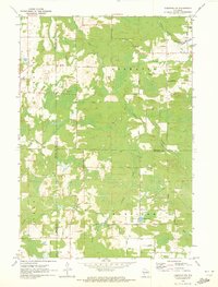
1970 · Tigerton NW
USGS Topo · 1:24,000
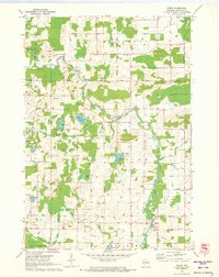
1970 · Symco
USGS Topo · 1:24,000