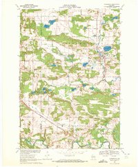
1969 Map of Scandinavia
USGS Topo · Published 1972About this map
Glacial topography and family-named homesteads characterize this Central Wisconsin landscape during the late 1960s. The village of Scandinavia serves as the focal point, situated at the junction of the Green Bay and Western railroad and the Little Wolf River. The area is densely dotted with kettle lakes, including Silver Lake, Gurholt Lake, and Myklebust Lake, illustrating the post-glacial drainage patterns of the region.
Find a feature on this map
51 named features on this map. Tap any name to fly to it.
Don’t see what you’re looking for? This feature index may not catch every label — zoom into the map to look around manually.
Map Details
Editions of this 1969 Scandinavia Map
2 editions found
Other maps of this area

1955 · Tigerton
USGS Topo · 1:48,000

1955 · Rosholt
USGS Topo · 1:48,000

1955 · Green Bay
USGS Topo · 1:250,000

1957 · Amherst
USGS Topo · 1:48,000

1957 · Waupaca
USGS Topo · 1:48,000
1969 · Waupaca
USGS Topo · 1:24,000
1969 · King
USGS Topo · 1:24,000
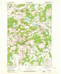
1969 · Ogdensburg
USGS Topo · 1:24,000
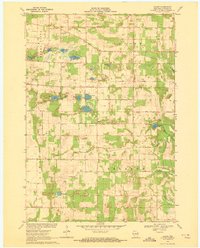
1969 · Blaine
USGS Topo · 1:24,000

1969 · New Hope
USGS Topo · 1:24,000