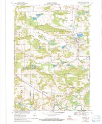
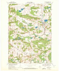
1969 Map of Scandinavia
USGS Topo · Published 1991About this map
The village of Scandinavia sits at the heart of this late-1960s landscape, positioned near the intersection of the G B & W and Soo Line railroads. This part of Waupaca County is defined by its glacial hydrology, evidenced by numerous named bodies of water like Silver Lake, Myklebust Lake, and the spring-fed Gurholt Lake. The Little Wolf River and Peterson Creek wind through the eastern reaches, while the south is anchored by the Waupaca River and the small settlement of Cobb Town. Local history is preserved in the placement of several rural landmarks, including the Scandinavia Cem, Farmington Ch, and Salem Cem. The map illustrates a settled agricultural region interconnected by roads such as Green Bay and Western and Indian Valley Road, reflecting a landscape of family farms and small-town commerce.
Find a feature on this map
55 named features on this map. Tap any name to fly to it.
Don’t see what you’re looking for? This feature index may not catch every label — zoom into the map to look around manually.
Map Details
Editions of this 1969 Scandinavia Map
2 editions found
Other maps of this area

1955 · Tigerton
USGS Topo · 1:48,000

1955 · Rosholt
USGS Topo · 1:48,000

1955 · Green Bay
USGS Topo · 1:250,000

1957 · Amherst
USGS Topo · 1:48,000

1957 · Waupaca
USGS Topo · 1:48,000
1969 · Waupaca
USGS Topo · 1:24,000
1969 · King
USGS Topo · 1:24,000
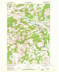
1969 · Ogdensburg
USGS Topo · 1:24,000
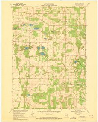
1969 · Blaine
USGS Topo · 1:24,000

1969 · New Hope
USGS Topo · 1:24,000