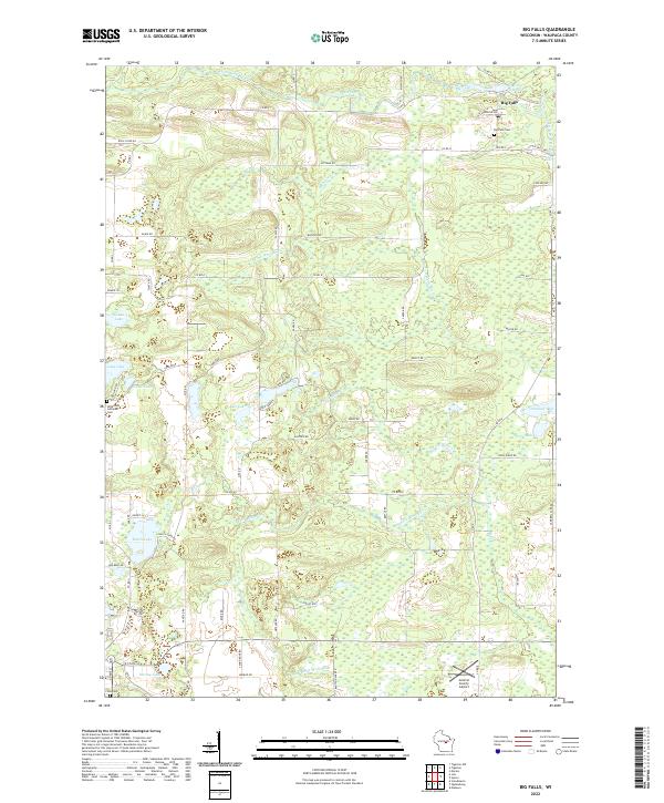
2022 Map of Big Falls
USGS Topo · Published 2022About this map
Big Falls sits at the northern edge of this Waupaca County landscape, situated along the Little Wolf River and the Big Falls Pond. This area is defined by its complex network of waterways, including the S Fork Whitcomb Cr and N Fork Blake Cr, which thread through a terrain punctuated by numerous glacial lakes. The settlement pattern reflects a deeply rooted community, centered on landmarks such as the Hitterdahl Lutheran Cem and Big Falls Cem.
Find a feature on this map
73 named features on this map. Tap any name to fly to it.
Don’t see what you’re looking for? This feature index may not catch every label — zoom into the map to look around manually.
Map Details
Editions of this 2022 Big Falls Map
This is the sole edition of this map. No revisions or reprints were ever made.
Other maps of this area

1955 · Clintonville
USGS Topo · 1:48,000

1955 · Tigerton
USGS Topo · 1:48,000

1955 · Green Bay
USGS Topo · 1:250,000

1956 · Weyauwega
USGS Topo · 1:48,000

1957 · Waupaca
USGS Topo · 1:48,000
1969 · Manawa
USGS Topo · 1:24,000
1969 · Ogdensburg
USGS Topo · 1:24,000
1969 · Scandinavia
USGS Topo · 1:24,000
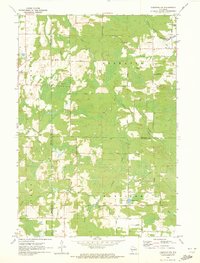
1970 · Tigerton NW
USGS Topo · 1:24,000
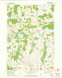
1970 · Symco
USGS Topo · 1:24,000