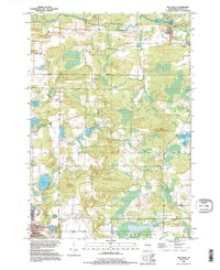
1992 Map of Big Falls
USGS Topo · Published 1996About this map
The Little Wolf River carves through the northern reaches of this Waupaca County landscape, passing the village of Big Falls and the smaller settlement of Little Falls. This 1990s-era revision, based on imagery dating back to 1968, illustrates a transition from the river-dependent industry of the past to a more modern recreational and rural residential layout. An Old RR Grade traces a path through the township of Wyoming, marking the former path of rail transport that once served the timber or granite interests of the region.
Find a feature on this map
42 named features on this map. Tap any name to fly to it.
Don’t see what you’re looking for? This feature index may not catch every label — zoom into the map to look around manually.
Map Details
Editions of this 1992 Big Falls Map
This is the sole edition of this map. No revisions or reprints were ever made.
Other maps of this area

1955 · Clintonville
USGS Topo · 1:48,000

1955 · Tigerton
USGS Topo · 1:48,000

1955 · Green Bay
USGS Topo · 1:250,000

1956 · Weyauwega
USGS Topo · 1:48,000

1957 · Waupaca
USGS Topo · 1:48,000
1969 · Manawa
USGS Topo · 1:24,000
1969 · Ogdensburg
USGS Topo · 1:24,000
1969 · Scandinavia
USGS Topo · 1:24,000
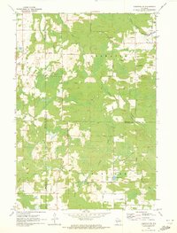
1970 · Tigerton NW
USGS Topo · 1:24,000
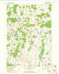
1970 · Symco
USGS Topo · 1:24,000