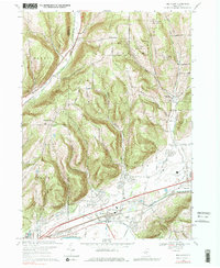
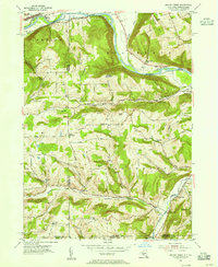
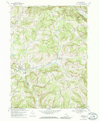
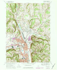
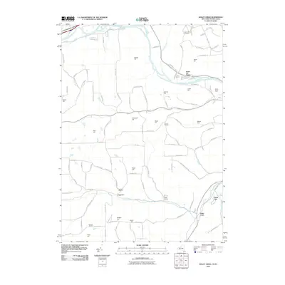
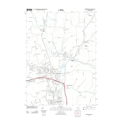
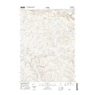
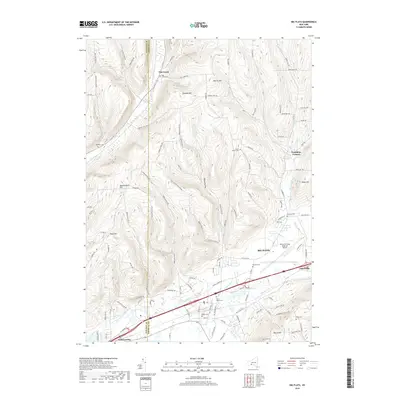
1969 Map of Big Flats
USGS Topo · Published 1979About this map
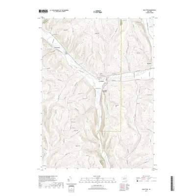
Big Flats serves as the central hub of this late-1960s survey, where the wide valley of the Chemung River meets the rugged uplands of Hornby and Catlin. The landscape is a study in mid-century transportation and infrastructure, anchored by the Chemung County Airport and the dual corridors of the Penn Central and Erie Lackawanna railroads. These rail lines track the river's path, connecting established settlements like East Corning and Fisherville to the broader Southern Tier network.
Find a feature on this map
37 named features on this map. Tap any name to fly to it.
Don’t see what you’re looking for? This feature index may not catch every label — zoom into the map to look around manually.
Map Details
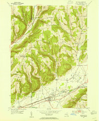
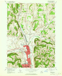
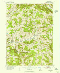
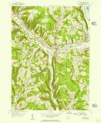
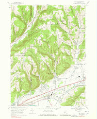
Editions of this 1969 Big Flats Map
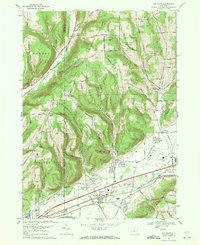
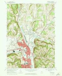
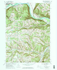
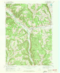
Historical Maps of Big Flats Through Time
36 maps found
1953 Big Flats
Chemung County, NY
1953 Horseheads
Chemung County, NY
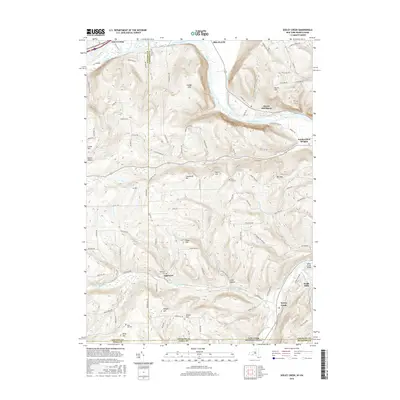
1953 Seeley Creek
Chemung County, NY
1954 Erin
Chemung County, NY
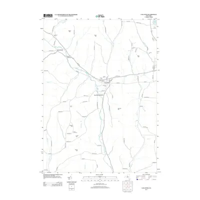
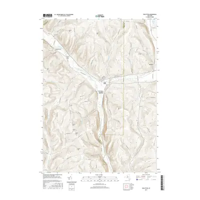
1954 Van Etten
Chemung County, NY
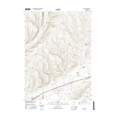
1969 Big Flats
Chemung County, NY
1969 Erin
Chemung County, NY
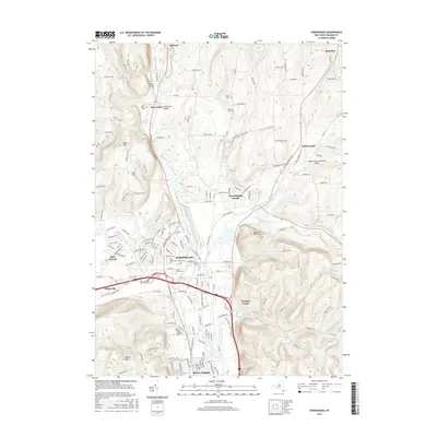
1969 Horseheads
Chemung County, NY
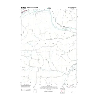
1969 Seeley Creek
Chemung County, NY
1969 Van Etten
Chemung County, NY
1978 Horseheads
Chemung County, NY
2010 Big Flats
Chemung County, NY
2010 Erin
Chemung County, NY
2010 Horseheads
Chemung County, NY
2010 Seeley Creek
Chemung County, NY
2010 Van Etten
Chemung County, NY
2013 Big Flats
Chemung County, NY
2013 Erin
Chemung County, NY
2013 Horseheads
Chemung County, NY
2013 Seeley Creek
Chemung County, NY
2013 Van Etten
Chemung County, NY
2016 Big Flats
Chemung County, NY
2016 Erin
Chemung County, NY
2016 Horseheads
Chemung County, NY
2016 Seeley Creek
Chemung County, NY
2016 Van Etten
Chemung County, NY
2019 Big Flats
Chemung County, NY
2019 Erin
Chemung County, NY
2019 Horseheads
Chemung County, NY
2019 Seeley Creek
Chemung County, NY
2019 Van Etten
Chemung County, NY

2023 Big Flats
Chemung County, NY

2023 Erin
Chemung County, NY

2023 Horseheads
Chemung County, NY

2023 Seeley Creek
Chemung County, NY

2023 Van Etten
Chemung County, NY