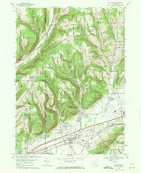
1969 Map of Big Flats
USGS Topo · Published 1971About this map
The Chemung River corridor dominates this late-1960s landscape, serving as a vital transportation artery where the Erie-Lackawanna and Penn Central railroads converge near Big Flats. This era shows the community in a state of mid-century development, anchored by the Chemung County Airport and a growing network of roads like Route 17. North of the river, the terrain rises sharply into named peaks such as Townley Hill and Martin Hill, where older rural patterns persist at Smith Corners and Tompkins Corners. The map provides significant genealogical value, documenting several small burial grounds including Rural Home Cem and Whitney Cem, alongside industrial markers like the Sand and Gravel Pit near East Corning. This survey captures the transition between the industrial rail era and the modern regional infrastructure of the Southern Tier.
Find a feature on this map
42 named features on this map. Tap any name to fly to it.
Don’t see what you’re looking for? This feature index may not catch every label — zoom into the map to look around manually.
Map Details
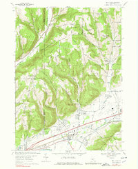
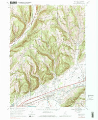
Editions of this 1969 Big Flats Map
Other maps of this area

1895 · Elmira
USGS Topo · 1:62,500

1898 · Watkins Glen
USGS Topo · 1:62,500

1901 · Watkins
USGS Topo · 1:62,500

1903 · Hammondsport
USGS Topo · 1:62,500

1905 · Watkins Glen
USGS Topo · 1:125,000

1914 · Corning
USGS Topo · 1:62,500

1944 · Corning
USGS Topo · 1:62,500

1950 · Elmira
USGS Topo · 1:250,000

1950 · Montour Falls
USGS Topo · 1:24,000

1953 · Bradford
USGS Topo · 1:24,000