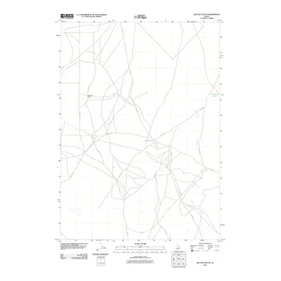
2011 Map of Big Foot Butte
USGS Topo · Published 2011About this map
Big Foot Butte rises above a sparse landscape defined by an intricate network of local access roads and drainage patterns in Ada County. This area of Idaho is characterized by its high desert terrain and seasonal water features, notably Wind Butte Lakes and the isolated Tadpole Lake situated in the central portion of the quadrangle. The map documents a rural infrastructure where thoroughfares like Range Rd and Big Foot Rd intersect a complex system of smaller routes such as Fischer Rd and Walsh Rd. The presence of Cemetery Rd near the eastern margin suggests localized history, while the wandering path of Rabbit Creek serves as a primary drainage corridor. This survey provides a baseline for tracking modern land use and remote road development in a region shaped by volcanic geography and high-altitude basins.
Find a feature on this map
13 named features on this map. Tap any name to fly to it.
Don’t see what you’re looking for? This feature index may not catch every label — zoom into the map to look around manually.
Map Details
Editions of this 2011 Big Foot Butte Map
This is the sole edition of this map. No revisions or reprints were ever made.
Other maps of this area

1892 · Bisuka
USGS Topo · 1:125,000

1894 · Bisuka
USGS Topo · 1:125,000

1947 · Jackass Butte
USGS Topo · 1:24,000

1947 · Wild Horse Butte
USGS Topo · 1:24,000

1947 · Dorsey Butte
USGS Topo · 1:24,000

1948 · Castle Butte
USGS Topo · 1:24,000

1948 · Big Foot Butte
USGS Topo · 1:24,000

1948 · Wild Horse Butte
USGS Topo · 1:24,000

1948 · Jackass Butte
USGS Topo · 1:24,000

1948 · Dorsey Butte
USGS Topo · 1:24,000