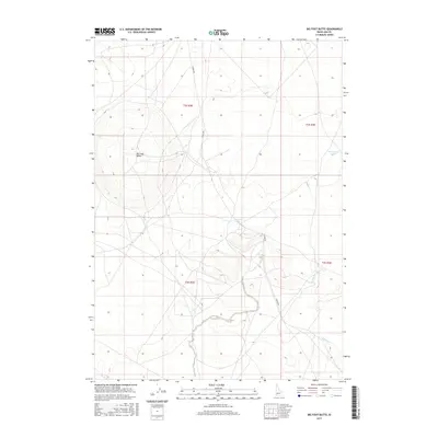
2017 Map of Big Foot Butte
USGS Topo · Published 2017About this map
Big Foot Butte serves as the central landmark for this arid sector of Ada County, Idaho, where the landscape is defined by the ephemeral presence of water. The map documents a sparsely settled high-desert environment in the late 2010s, bisected by the straight line of S Range Rd. Significant seasonal water features are recorded, including the small catchments of Tadpole Lake and Wind Butte Lakes, alongside the wandering drainage of Rabbit Cr. This topographic study emphasizes the vast, undeveloped sections of the public land survey system, illustrating the stark township and range grid across the plateau. The lack of permanent structures or towns highlights the area's role as open rangeland, characterized by subtle elevation changes and the specific hydrology of the snake river plain fringe.
Find a feature on this map
10 named features on this map. Tap any name to fly to it.
Don’t see what you’re looking for? This feature index may not catch every label — zoom into the map to look around manually.
Map Details
Editions of this 2017 Big Foot Butte Map
This is the sole edition of this map. No revisions or reprints were ever made.
Other maps of this area

1892 · Bisuka
USGS Topo · 1:125,000

1894 · Bisuka
USGS Topo · 1:125,000

1947 · Jackass Butte
USGS Topo · 1:24,000

1947 · Wild Horse Butte
USGS Topo · 1:24,000

1947 · Dorsey Butte
USGS Topo · 1:24,000

1948 · Castle Butte
USGS Topo · 1:24,000

1948 · Big Foot Butte
USGS Topo · 1:24,000

1948 · Wild Horse Butte
USGS Topo · 1:24,000

1948 · Jackass Butte
USGS Topo · 1:24,000

1948 · Dorsey Butte
USGS Topo · 1:24,000