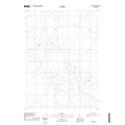
2020 Map of Big Foot Butte
USGS Topo · Published 2020About this map
Big Foot Butte rises above the high desert floor of southern Ada County, serving as a primary navigational landmark in this expanse of the Snake River Plain. This 2020 edition reveals a landscape defined by seasonal water and wide-ranging cattle grazing territory, where the intermittent Rabbit Cr winds through the southeastern sections of the township. Access to this open country is maintained by the corridor of S Range Rd, which cuts north-to-south through the center of the quadrangle. Small, scattered catchments like Tadpole Lake and the Wind Butte Lakes provide vital water points in an otherwise arid environment, illustrating the hydrological patterns essential for land use in this part of Idaho. The map provides a clear look at the Public Land Survey System grid, including the convergence of t2s r2e and t3s r3e, which remains the foundational framework for land management in the region.
Find a feature on this map
9 named features on this map. Tap any name to fly to it.
Don’t see what you’re looking for? This feature index may not catch every label — zoom into the map to look around manually.
Map Details
Editions of this 2020 Big Foot Butte Map
This is the sole edition of this map. No revisions or reprints were ever made.
Other maps of this area

1892 · Bisuka
USGS Topo · 1:125,000

1894 · Bisuka
USGS Topo · 1:125,000

1947 · Jackass Butte
USGS Topo · 1:24,000

1947 · Wild Horse Butte
USGS Topo · 1:24,000

1947 · Dorsey Butte
USGS Topo · 1:24,000

1948 · Castle Butte
USGS Topo · 1:24,000

1948 · Big Foot Butte
USGS Topo · 1:24,000

1948 · Wild Horse Butte
USGS Topo · 1:24,000

1948 · Jackass Butte
USGS Topo · 1:24,000

1948 · Dorsey Butte
USGS Topo · 1:24,000