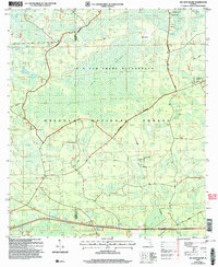
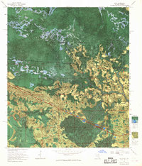
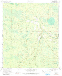
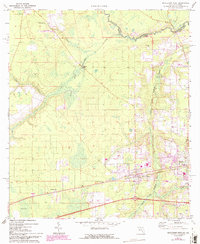
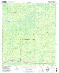
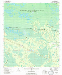
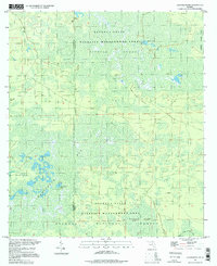
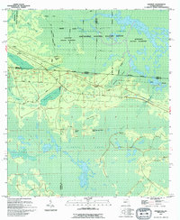
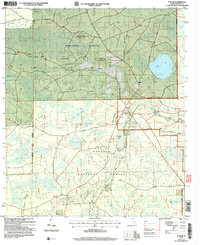
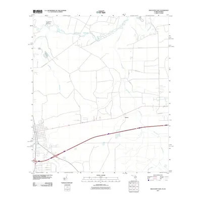
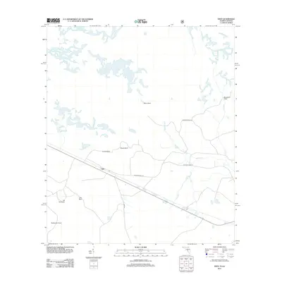
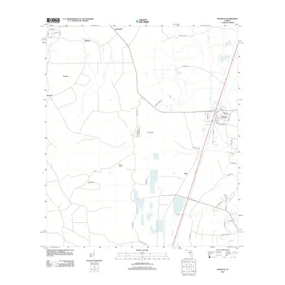
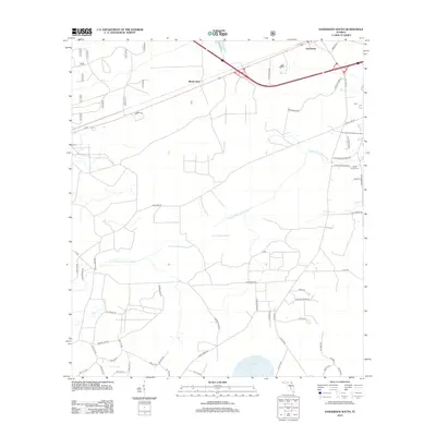
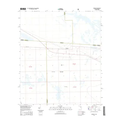
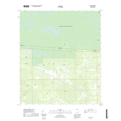
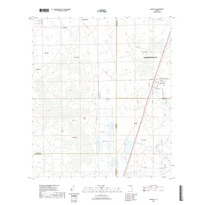
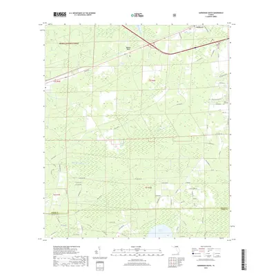
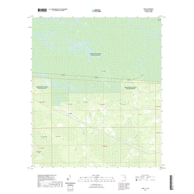
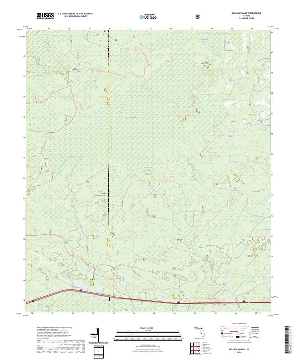
2005 Map of Big Gum Swamp
USGS Topo · Published 2006About this map
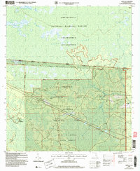
Big Gum Swamp Wilderness dominates this landscape along the border of Columbia and Baker Counties. Managed as part of the Osceola National Forest, the area is defined by its complex hydrologic network, where waters flow through Buckhead Swamp and Little Gum Swamp into the Middle Prong St Marys River. The terrain is a mixture of wetlands and slightly elevated landforms like Big Island and Cross Island, which historically provided the only dry ground in an otherwise saturated environment.
Find a feature on this map
23 named features on this map. Tap any name to fly to it.
Don’t see what you’re looking for? This feature index may not catch every label — zoom into the map to look around manually.
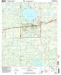
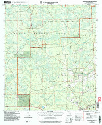
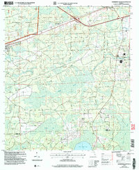
Map Details
Editions of this 2005 Big Gum Swamp Map
This is the sole edition of this map. No revisions or reprints were ever made.
Historical Maps of Columbia County Through Time
89 maps found
1956 Eddy
Baker County, FL

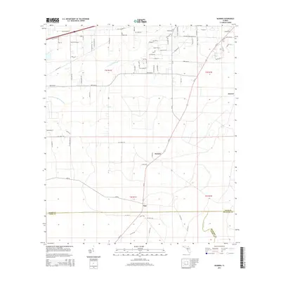
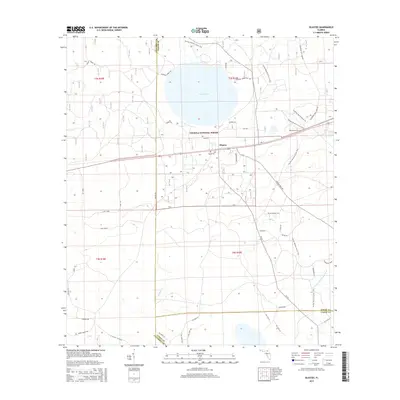
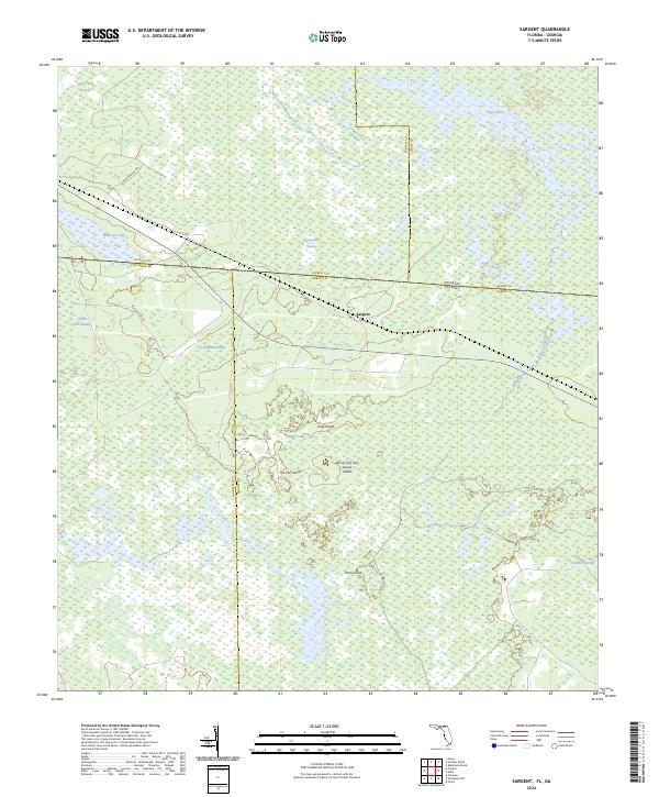
1956 Sargent
Baker County, FL
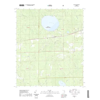
1963 Olustee
Baker County, FL
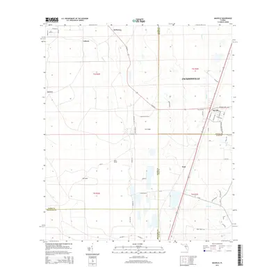
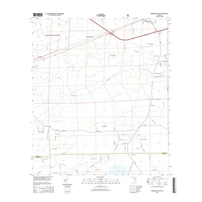
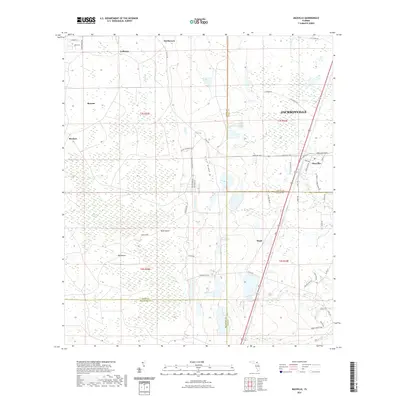
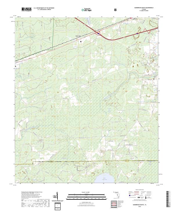
1963 Sanderson South
Baker County, FL
1967 Eddy
Baker County, FL

1967 Sargent
Baker County, FL
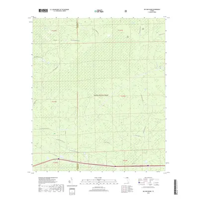
1969 Big Gum Swamp
Baker County, FL
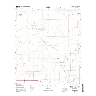
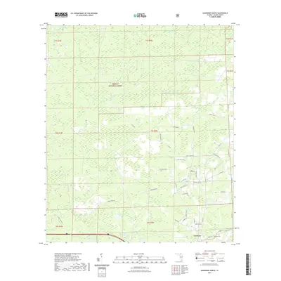
1969 Sanderson North
Baker County, FL
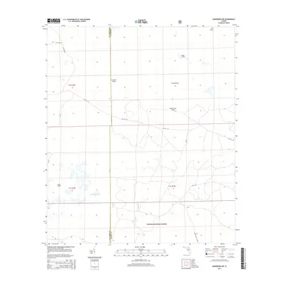
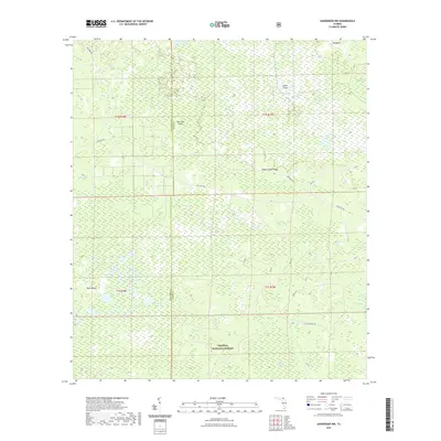
1969 Sanderson Nw
Baker County, FL
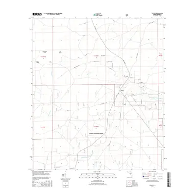
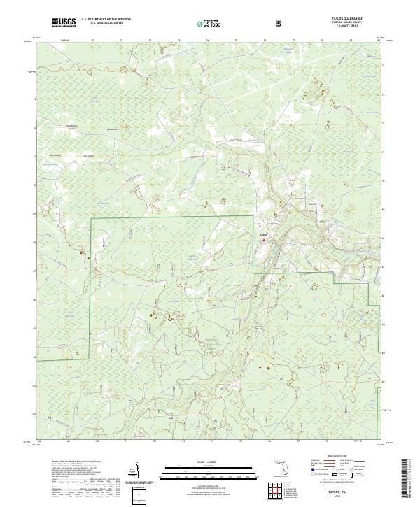
1969 Taylor
Baker County, FL
1970 Manning
Baker County, FL
1970 Maxville
Baker County, FL
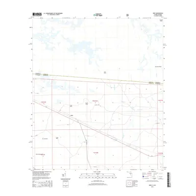
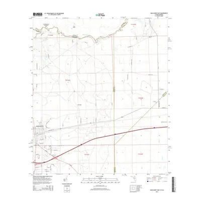
1972 Macclenny East
Baker County, FL
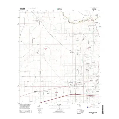
1972 Macclenny West
Baker County, FL
1994 Big Gum Swamp
Baker County, FL
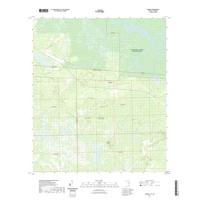
1994 Eddy
Baker County, FL
1994 Sanderson Nw
Baker County, FL
1994 Sargent
Baker County, FL
2005 Big Gum Swamp
Baker County, FL
2005 Olustee
Baker County, FL
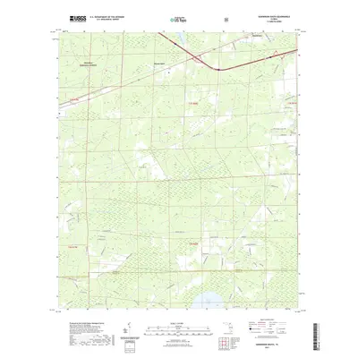
2005 Sanderson North
Baker County, FL
2005 Sanderson South
Baker County, FL
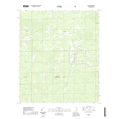
2005 Taylor
Baker County, FL
2006 Eddy
Baker County, FL
2006 Macclenny NW
Baker County, FL
2011 Eddy
Baker County, FL
2011 Macclenny East
Baker County, FL
2011 Macclenny West
Baker County, FL
2011 Sargent
Baker County, FL
2012 Big Gum Swamp
Baker County, FL
2012 Eddy
Baker County, FL
2012 Macclenny East
Baker County, FL
2012 Macclenny West
Baker County, FL
2012 Manning
Baker County, FL
2012 Maxville
Baker County, FL
2012 Olustee
Baker County, FL
2012 Sanderson North
Baker County, FL
2012 Sanderson NW
Baker County, FL
2012 Sanderson South
Baker County, FL
2012 Sargent
Baker County, FL
2012 Taylor
Baker County, FL
2015 Big Gum Swamp
Baker County, FL
2015 Eddy
Baker County, FL
2015 Macclenny East
Baker County, FL
2015 Macclenny West
Baker County, FL
2015 Manning
Baker County, FL
2015 Maxville
Baker County, FL
2015 Olustee
Baker County, FL
2015 Sanderson North
Baker County, FL
2015 Sanderson NW
Baker County, FL
2015 Sanderson South
Baker County, FL
2015 Sargent
Baker County, FL
2015 Taylor
Baker County, FL
2018 Big Gum Swamp
Baker County, FL
2018 Eddy
Baker County, FL
2018 Macclenny East
Baker County, FL
2018 Macclenny West
Baker County, FL
2018 Manning
Baker County, FL
2018 Maxville
Baker County, FL
2018 Olustee
Baker County, FL
2018 Sanderson North
Baker County, FL
2018 Sanderson NW
Baker County, FL
2018 Sanderson South
Baker County, FL
2018 Sargent
Baker County, FL
2018 Taylor
Baker County, FL
2021 Big Gum Swamp
Baker County, FL
2021 Eddy
Baker County, FL
2021 Macclenny East
Baker County, FL
2021 Macclenny West
Baker County, FL
2021 Manning
Baker County, FL
2021 Maxville
Baker County, FL
2021 Olustee
Baker County, FL
2021 Sanderson North
Baker County, FL
2021 Sanderson NW
Baker County, FL
2021 Sanderson South
Baker County, FL
2021 Sargent
Baker County, FL
2021 Taylor
Baker County, FL
2024 Big Gum Swamp
Baker County, FL
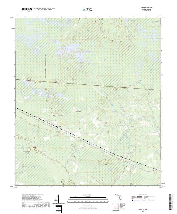
2024 Eddy
Baker County, FL
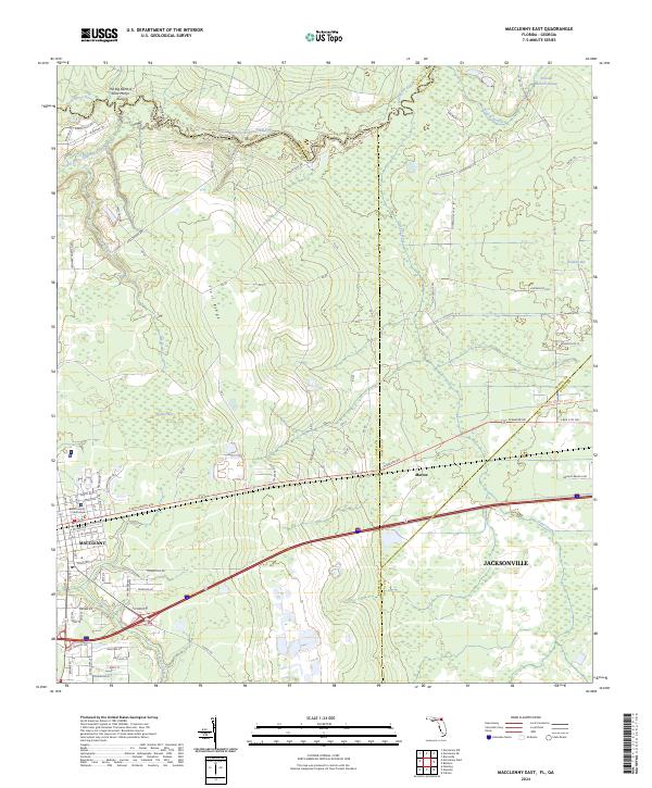
2024 Macclenny East
Baker County, FL
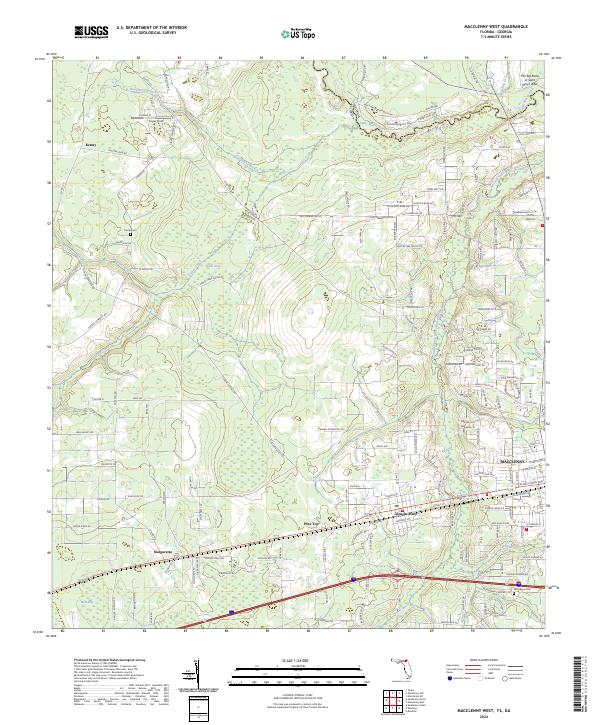
2024 Macclenny West
Baker County, FL
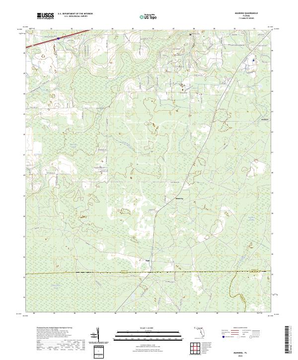
2024 Manning
Baker County, FL
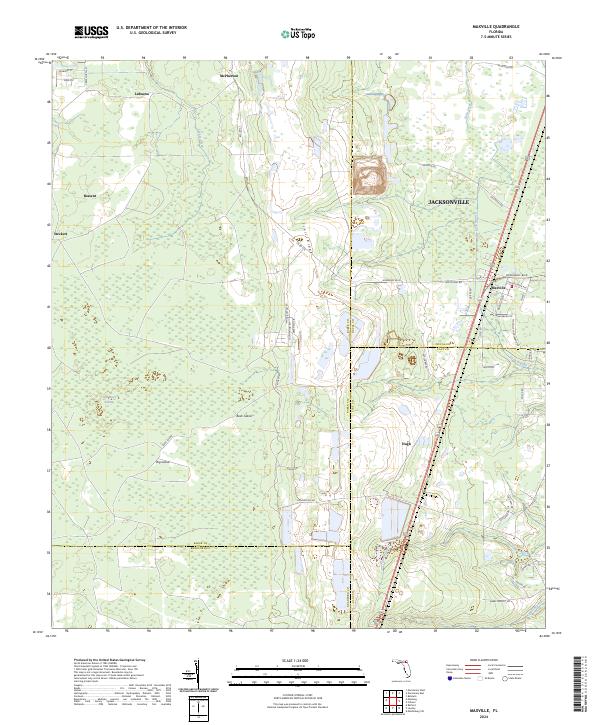
2024 Maxville
Baker County, FL
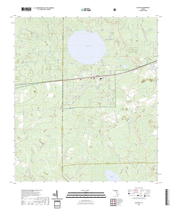
2024 Olustee
Baker County, FL
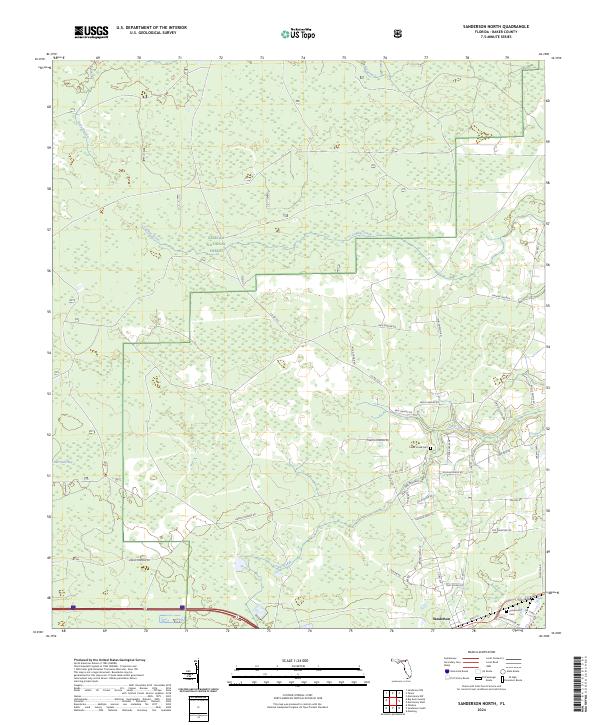
2024 Sanderson North
Baker County, FL
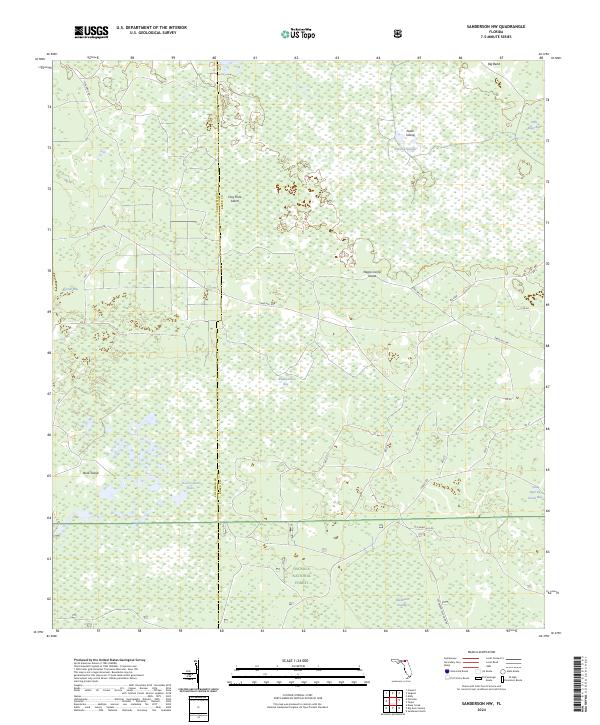
2024 Sanderson NW
Baker County, FL
2024 Sanderson South
Baker County, FL
2024 Sargent
Baker County, FL
2024 Taylor
Baker County, FL