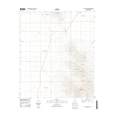
2013 Map of Big Hatchet Peak
USGS Topo · Published 2013About this map
Big Hatchet Peak dominates the southeastern quadrant of this Hidalgo County landscape, marking the highest point in a dramatic desert range. The topographical data reveals the steep, serrated ridgelines of the Big Hatchet Mountains as they overlook the surrounding desert basins. To the west, the flat expanse of the Playas Valley provides a stark contrast to the vertical relief of the peaks, while the Hachita Valley borders the range to the northeast. Between the major uplifts, Hatchet Gap serves as a natural corridor between the northern and southern basins, utilized by NM-81 as it traverses the terrain.
Find a feature on this map
22 named features on this map. Tap any name to fly to it.
Don’t see what you’re looking for? This feature index may not catch every label — zoom into the map to look around manually.
Map Details
Editions of this 2013 Big Hatchet Peak Map
This is the sole edition of this map. No revisions or reprints were ever made.
Other maps of this area

1918 · Big Hatchet Peak
USGS Topo · 1:62,500

1918 · Hachita
USGS Topo · 1:62,500

1918 · Walnut Wells
USGS Topo · 1:62,500

1918 · Playas
USGS Topo · 1:62,500

1919 · Playas
USGS Topo · 1:62,500

1923 · Walnut Wells
USGS Topo · 1:62,500

1955 · Douglas
USGS Topo · 1:250,000

1959 · Douglas
USGS Topo · 1:250,000

1961 · Douglas
USGS Topo · 1:250,000

1964 · Douglas
USGS Topo · 1:250,000