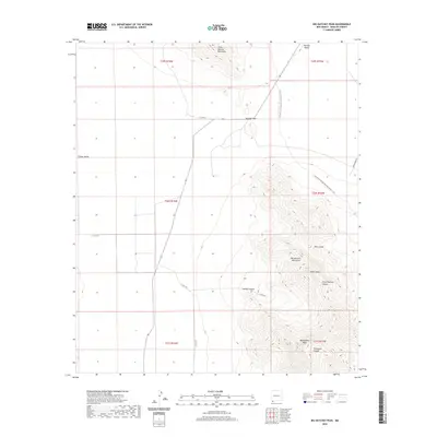
2020 Map of Big Hatchet Peak
USGS Topo · Published 2020About this map
Big Hatchet Peak and its surrounding heights dominate this corner of Hidalgo County, where the desert floor meets the sky-reaching limestone of the Big Hatchet Mountains. This topographic survey captures the complex drainage systems of the Hachita Valley and Playas Valley, separated by the distinct geographic pinch-point of Hatchet Gap. The map details the rugged ascent of the Continental Divide National Scenic Trail as it snakes across the ridges, providing a modern perspective on a path used by travelers for generations.
Find a feature on this map
23 named features on this map. Tap any name to fly to it.
Don’t see what you’re looking for? This feature index may not catch every label — zoom into the map to look around manually.
Map Details
Editions of this 2020 Big Hatchet Peak Map
This is the sole edition of this map. No revisions or reprints were ever made.
Other maps of this area

1918 · Big Hatchet Peak
USGS Topo · 1:62,500

1918 · Hachita
USGS Topo · 1:62,500

1918 · Walnut Wells
USGS Topo · 1:62,500

1918 · Playas
USGS Topo · 1:62,500

1919 · Playas
USGS Topo · 1:62,500

1923 · Walnut Wells
USGS Topo · 1:62,500

1955 · Douglas
USGS Topo · 1:250,000

1959 · Douglas
USGS Topo · 1:250,000

1961 · Douglas
USGS Topo · 1:250,000

1964 · Douglas
USGS Topo · 1:250,000