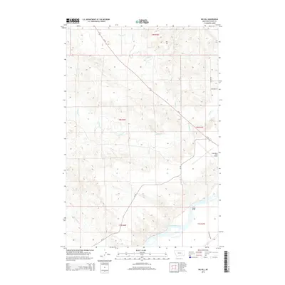
2014 Map of Big Hill
USGS Topo · Published 2014About this map
The Yellowstone River cuts across the southern portion of this landscape, its wide channel and shifting gravel bars defining the drainage patterns for the surrounding high plains of Custer County. In the south, the historic Fort Keogh Bridge provides a crossing point near the modern alignment of Fort Keogh Rd, linking the riverbanks to the local transport network. The terrain rises to the north toward the namesake Big Hill, a prominent topographical feature overlooking a complex system of seasonal drainages including N Sunday Cr, S Sunday Cr, and Crooked Cr. Modern infrastructure is represented by the Frank Wiley Field Airport in the east and the straight-line routes of MT-59 and CR-158, which intersect the section lines of this rural Montana cattle-country expanse.
Find a feature on this map
21 named features on this map. Tap any name to fly to it.
Don’t see what you’re looking for? This feature index may not catch every label — zoom into the map to look around manually.
Map Details
Editions of this 2014 Big Hill Map
This is the sole edition of this map. No revisions or reprints were ever made.
Other maps of this area

1953 · Miles City
USGS Topo · 1:250,000

1954 · Forsyth
USGS Topo · 1:250,000

1957 · Miles City
USGS Topo · 1:250,000

1957 · Forsyth
USGS Topo · 1:250,000

1958 · Miles City
USGS Topo · 1:250,000

1958 · Forsyth
USGS Topo · 1:250,000

1968 · Big Hill
USGS Topo · 1:24,000

1968 · Miles City
USGS Topo · 1:24,000

1968 · Lignite Creek
USGS Topo · 1:24,000

1968 · Butterfly Creek
USGS Topo · 1:24,000