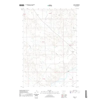
2020 Map of Big Hill
USGS Topo · Published 2020About this map
The Yellowstone River cuts through the southeastern corner of this Custer County landscape, providing a geographical anchor for the surrounding drainage basins of Cotton Cr and Reservation Cr. Elevated terrain is dominated by the prominent Big Hill in the north, while the lowlands near the river feature vital transport and aviation infrastructure. This includes Frank Wiley Field and the Fort Keogh Bridge, which facilitates movement across the water toward Ft Keogh Rd.
Find a feature on this map
24 named features on this map. Tap any name to fly to it.
Don’t see what you’re looking for? This feature index may not catch every label — zoom into the map to look around manually.
Map Details
Editions of this 2020 Big Hill Map
This is the sole edition of this map. No revisions or reprints were ever made.
Other maps of this area

1953 · Miles City
USGS Topo · 1:250,000

1954 · Forsyth
USGS Topo · 1:250,000

1957 · Miles City
USGS Topo · 1:250,000

1957 · Forsyth
USGS Topo · 1:250,000

1958 · Miles City
USGS Topo · 1:250,000

1958 · Forsyth
USGS Topo · 1:250,000

1968 · Big Hill
USGS Topo · 1:24,000

1968 · Miles City
USGS Topo · 1:24,000

1968 · Lignite Creek
USGS Topo · 1:24,000

1968 · Butterfly Creek
USGS Topo · 1:24,000