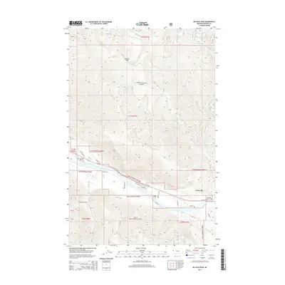
2014 Map of Big Hole Peak
USGS Topo · Published 2014About this map
Lolo National Forest dominates this mountain landscape, which is bisected by the wide course of the Clark Fork. This 2014 survey captures the rugged topography of Sanders County, where the elevation rises sharply from the river valley to the summit of Big Hole Peak. The settlement of Weeksville serves as a focal point along the northern banks, situated where Weeksville Creek flows toward the main river. Transportation in the corridor follows the natural curve of the valley floor, with MT-200 and River Road W providing access through the forest. To the south, the terrain is marked by deep drainages such as Poacher Gulch and Swamp Creek, illustrating the complex water network that feeds into the Clark Fork drainage system.
Find a feature on this map
27 named features on this map. Tap any name to fly to it.
Don’t see what you’re looking for? This feature index may not catch every label — zoom into the map to look around manually.
Map Details
Editions of this 2014 Big Hole Peak Map
This is the sole edition of this map. No revisions or reprints were ever made.
Other maps of this area

1918 · St Regis
USGS Topo · 1:125,000

1919 · St. Regis
USGS Topo · 1:125,000

1937 · Thompson Falls
USGS Topo · 1:125,000

1956 · St Regis
USGS Topo · 1:62,500

1956 · Wallace
USGS Topo · 1:250,000

1959 · Plains
USGS Topo · 1:62,500

1960 · Wallace
USGS Topo · 1:250,000

1964 · Calico Creek
USGS Topo · 1:24,000

1964 · Eddy Mountain
USGS Topo · 1:24,000
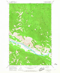
1964 · Big Hole Peak
USGS Topo · 1:24,000