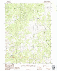
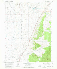
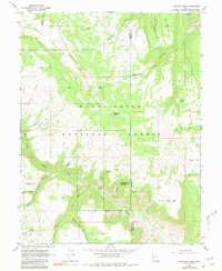
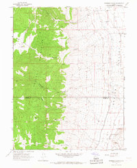
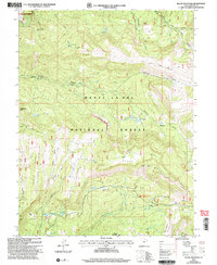
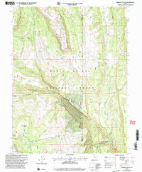
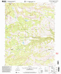
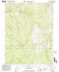
1983 Map of Big Hollow
USGS Topo · Published 1986About this map
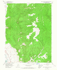
Cedar Hills dominate this mid-1980s topographic portrait, where the border between Juab and Sanpete Counties cuts through a high-elevation landscape defined by its complex drainage network. The area is marked by a series of named canyons and hollows that speak to the essential water sources in this arid environment, including Whitaker Springs and the aptly named Water Hollow.
Find a feature on this map
17 named features on this map. Tap any name to fly to it.
Don’t see what you’re looking for? This feature index may not catch every label — zoom into the map to look around manually.
Map Details
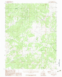
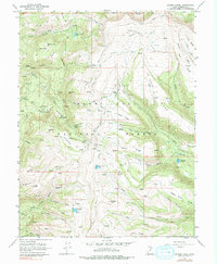
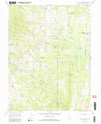
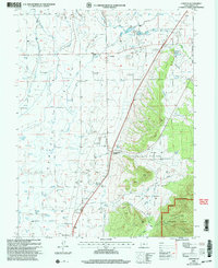
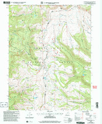
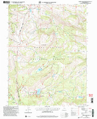
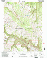
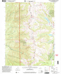
Editions of this 1983 Big Hollow Map
2 editions found
Historical Maps of Sanpete County Through Time
51 maps found

1922 Wasatch
Sanpete County, UT
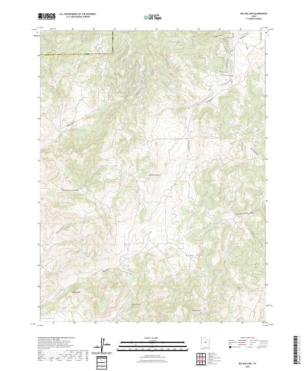
1965 Black Mountain
Sanpete County, UT
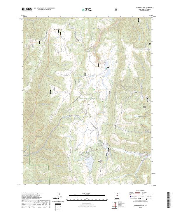
1965 Fairview Lakes
Sanpete County, UT
1965 Hells Kitchen Canyon SE
Sanpete County, UT
1965 Hells Kitchen Canyon SW
Sanpete County, UT
1965 Huntington Reservoir
Sanpete County, UT
1965 Woods Lake
Sanpete County, UT
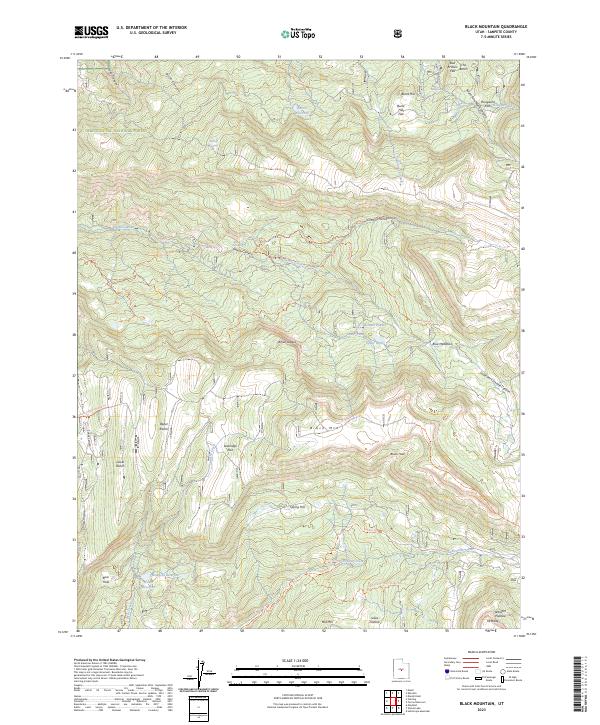
1966 Chester
Sanpete County, UT
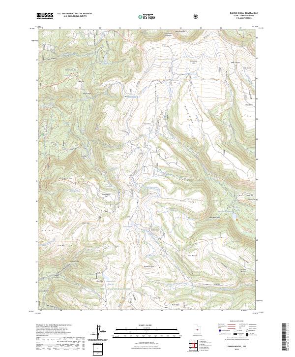
1966 Danish Knoll
Sanpete County, UT
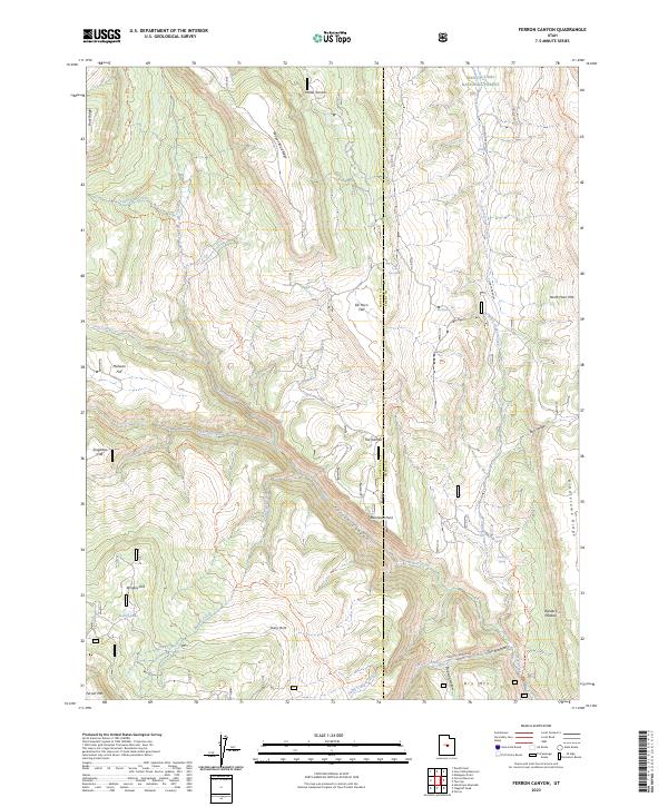
1966 Ferron Canyon
Sanpete County, UT
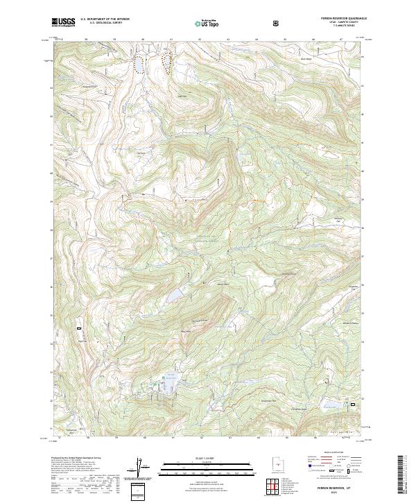
1966 Ferron Reservoir
Sanpete County, UT
1966 Flagstaff Peak
Sanpete County, UT
1966 Hayes Canyon
Sanpete County, UT
1966 Heliotrope Mtn
Sanpete County, UT
1966 Joes Valley Reservoir
Sanpete County, UT
1966 Redmond Canyon
Sanpete County, UT
1966 South Tent Mountain
Sanpete County, UT
1983 Big Hollow
Sanpete County, UT
1983 Fountain Green South
Sanpete County, UT
1983 Moroni Gap
Sanpete County, UT
2001 Black Mountain
Sanpete County, UT
2001 Chester
Sanpete County, UT
2001 Danish Knoll
Sanpete County, UT
2001 Fairview Lakes
Sanpete County, UT
2001 Ferron Canyon
Sanpete County, UT
2001 Ferron Reservoir
Sanpete County, UT
2001 Flagstaff Peak
Sanpete County, UT
2001 Fountain Green South
Sanpete County, UT
2001 Heliotrope Mountain
Sanpete County, UT
2001 Huntington Reservoir
Sanpete County, UT
2001 Joes Valley Reservoir
Sanpete County, UT
2001 South Tent Mountain
Sanpete County, UT
2001 Woods Lake
Sanpete County, UT
2023 Big Hollow
Sanpete County, UT
2023 Black Mountain
Sanpete County, UT
2023 Chester
Sanpete County, UT
2023 Danish Knoll
Sanpete County, UT
2023 Fairview Lakes
Sanpete County, UT
2023 Ferron Canyon
Sanpete County, UT
2023 Ferron Reservoir
Sanpete County, UT
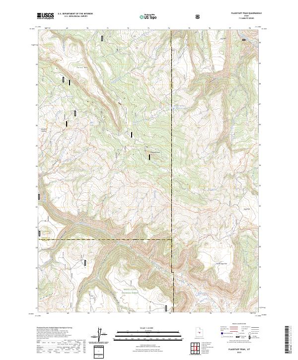
2023 Flagstaff Peak
Sanpete County, UT
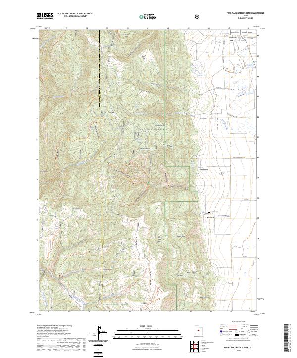
2023 Fountain Green South
Sanpete County, UT
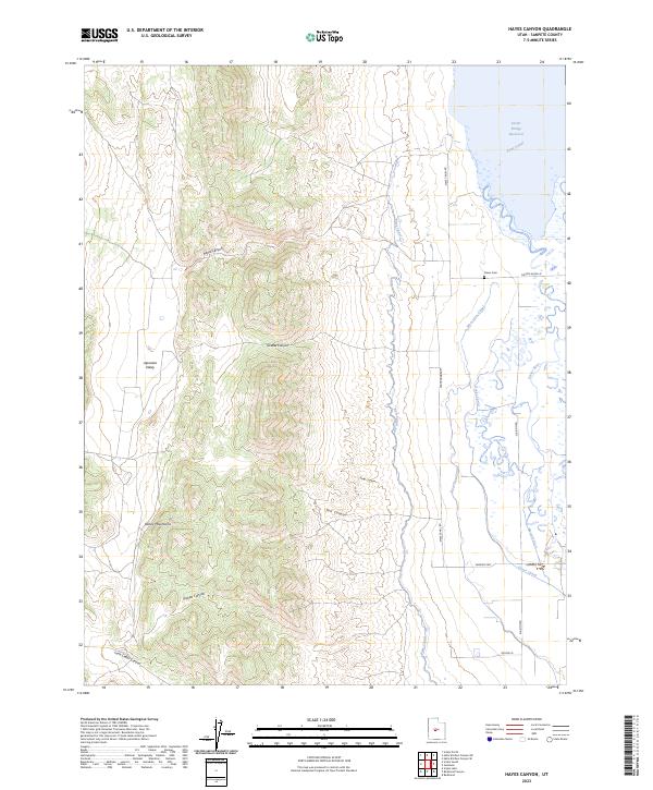
2023 Hayes Canyon
Sanpete County, UT
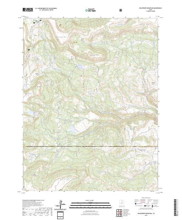
2023 Heliotrope Mountain
Sanpete County, UT
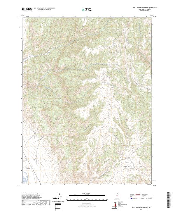
2023 Hells Kitchen Canyon SE
Sanpete County, UT
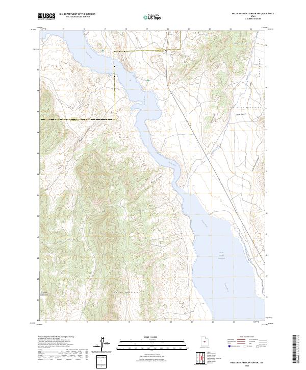
2023 Hells Kitchen Canyon SW
Sanpete County, UT
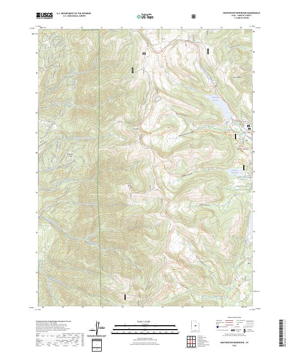
2023 Huntington Reservoir
Sanpete County, UT
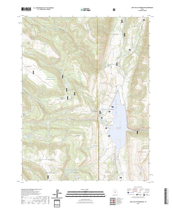
2023 Joes Valley Reservoir
Sanpete County, UT
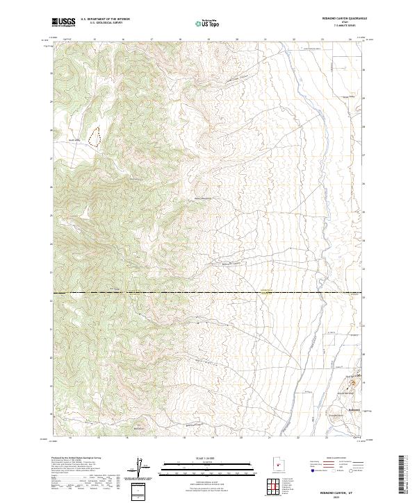
2023 Redmond Canyon
Sanpete County, UT
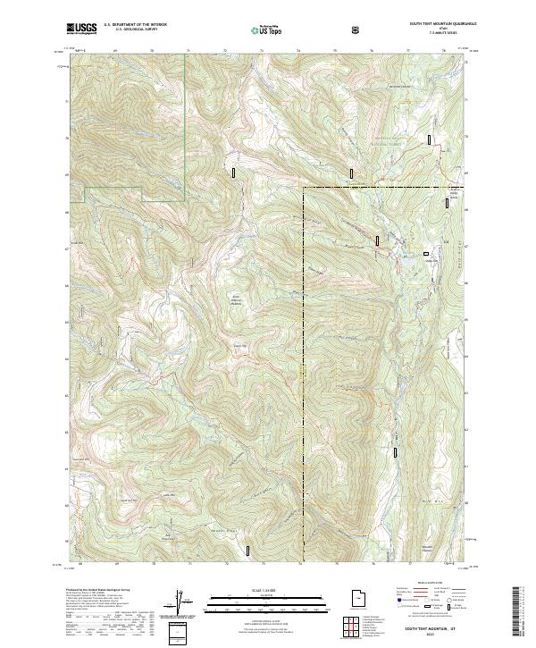
2023 South Tent Mountain
Sanpete County, UT
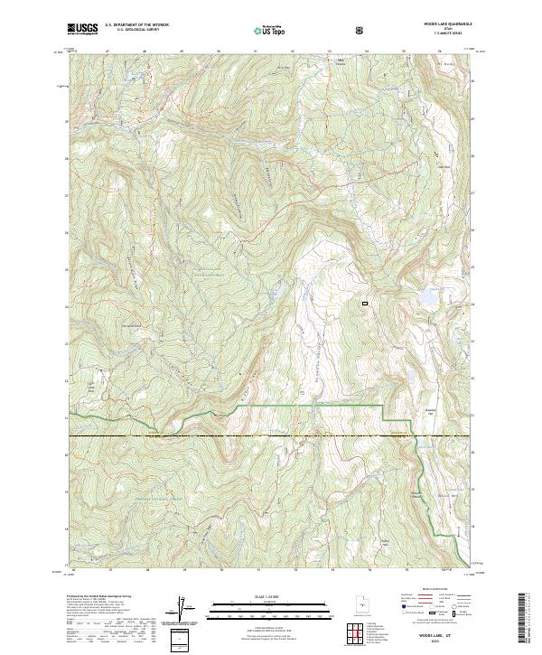
2023 Woods Lake
Sanpete County, UT